10 of the Best Hiking Trails in Pukaskwa National Park
If you’re looking for a true wilderness experience, Pukaskwa National Park should be on your radar. Halfway between Sault Ste. Marie and Thunder Bay, the park is located in (basically) the middle of nowhere on the northeast shore of Lake Superior.
Here on the wild shores, the weather can change at the drop of a hat, so be prepared for sun, wind, rain or cold—sometimes in the same hour. But the dramatic Canadian Shield scenery and remote peacefulness with good potential for wildlife viewings makes a visit worthwhile. Pack up your adventure gear and head to Pukaskwa.
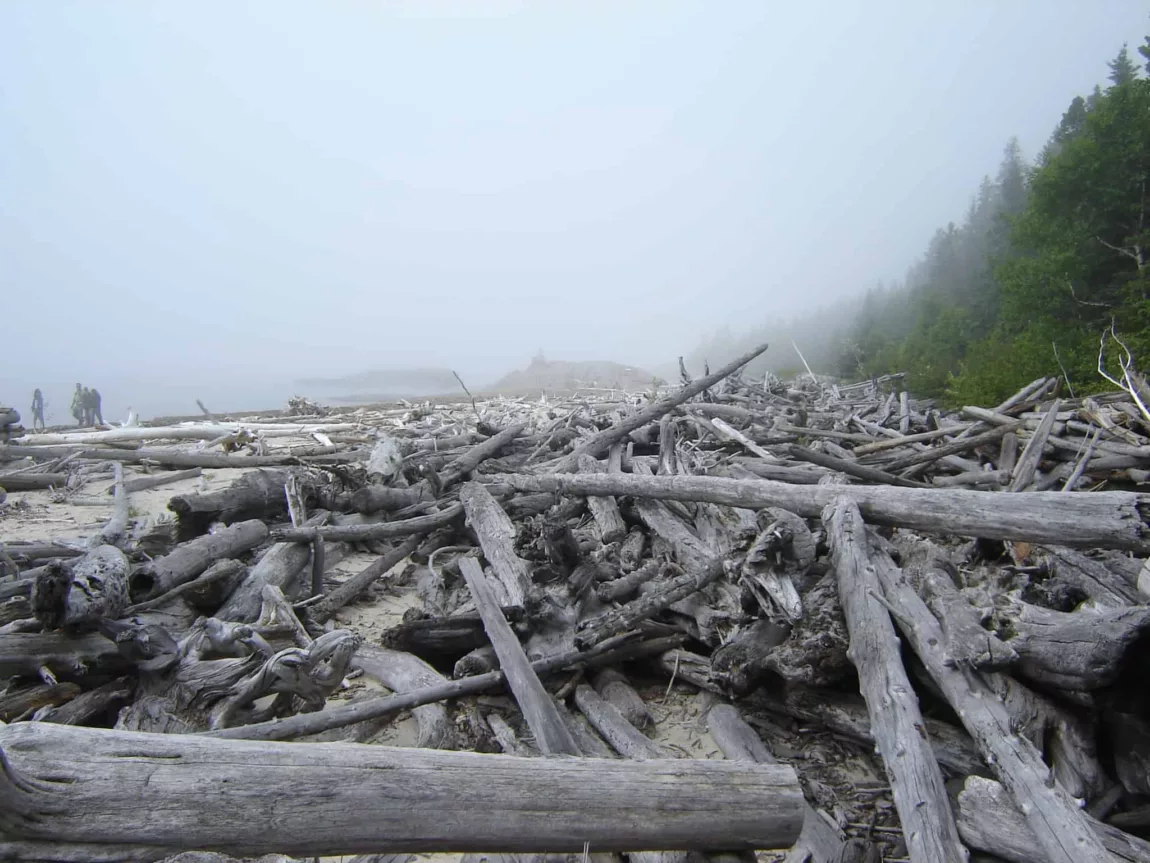
Boardwalk Beach Trail
Length: 1.2 km roundtrip
Time: 30 minutes
Elevation Gain: Minimal
A nice mix of gravel path and boardwalk, this easy trail is the ideal place to get warmed up and stretch your legs. The ultimate destination is Horseshoe Bay, where you will find fantastic views of the lake and sand dunes. Take a thermos of tea and sit and watch the sunset.
How do I get to Boardwalk Beach Trail trailhead: Follow the signs from the Visitors Centre.
Read more: Parks Canada
Hattie Cove Fire Walk
Length: 0.7 km roundtrip
Time: 20 minutes
Elevation Gain: Minimal
The Hattie Cove Fire Walk is part of the famous Coastal Hiking Trail. This leisurely walk gives you nice views of the cove and takes you through a prescribed burn area. You will marvel at how quickly things grow back in a boreal forest.
How do I get to Hattie Cove Fire Walk trailhead: Follow the signs from the Visitors Centre.
Read more: Parks Canada
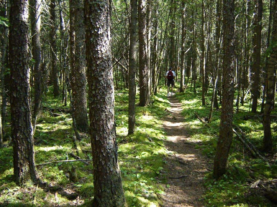
Beach Trail
Length: 2 km roundtrip
Time: 1 hour
Elevation Gain: Minimal
As the name suggests, Beach Trail takes you along the shoreline of Middle Beach and North Beach. This is the place to take off your shoes, bury your toes in the sand and admire driftwood. It might be tempting to bring some home, but as always, take only pictures and leave only footprints.
How do I get to Beach Trail trailhead: Follow the signs from the Visitors Centre.
Read more: Parks Canada
Southern Headland Trail
Length: 2.2 km roundtrip
Time: 1.5 hours
Elevation Gain: Minimal
Pack your wind breaker for this hike! The rugged trail takes you out to the point between Horseshoe Bay and Pulpwood Harbour. Along the way, there are some stairs to help navigate the ups and downs. The arctic-alpine plants and lichens here are stunted, so you’ll find lovely bonsai-type growth.
How do I get to Southern Headland Trail trailhead: Follow the signs from the Visitors Centre.
Read more: Parks Canada
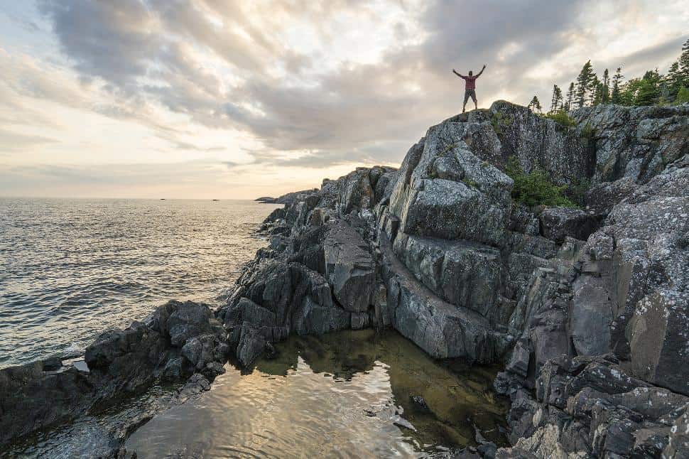
Manito Miikana
Length: 2 km roundtrip
Time: 1 hour
Elevation Gain: Minimal
Dubbed the “Spirit Trail,” a quiet walk here might reveal the spirits of the land and lake. You will wind through a rocky ravine and along an extensive headland. Take a picnic lunch to eat on either of the two viewing decks, where you’ll have stunning views of Lake Superior and the Pic River Dunes.
How do I get to Manito Miikana trailhead: Follow the signs from the Visitors Centre.
Read more: Parks Canada
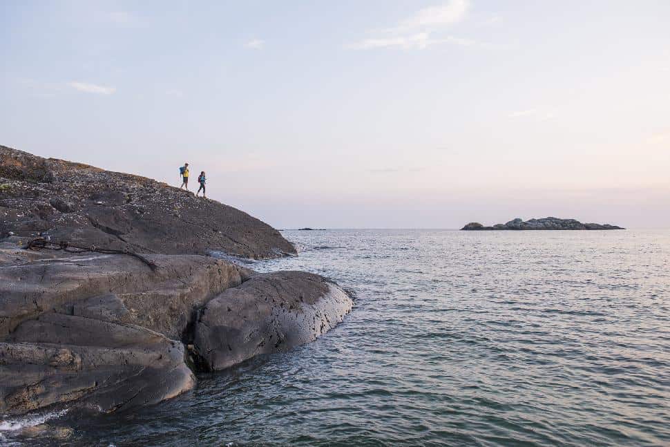
Bismose Kinoomagewnan
Length: 3.7 km roundtrip
Time: 2 hours
Elevation Gain: Minimal
This trail takes you around Halfway Lake. Bismose Kinoomagewnan means “the Walk of Teachings” in Ojibwe. Along the trail, you’ll find elders’ stories that teach about love, honesty, respect, wisdom, truth, humility and bravery. Displayed artwork depicts how the current Ojibwe generation interprets these teachings.
How do I get to Bismose Kinoomagewnan trailhead: Follow the signs from the Visitors Centre.
Read more: Parks Canada
Combination Hike
Length: 6.3 km roundtrip
Time: 3.5 hours
Elevation Gain: Minimal
If you’re feeling energetic, this trail combines three of the above: the Southern Headland Trail, Beach Trail and the Bismose Kinoomagewnan Trail. This well-rounded hike is a great way to see some of the different landscape in the park and experience a few trails in one go.
How do I get to Combination Hike trailhead: Follow the signs from the Visitors Centre.
Read more: Parks Canada
White River Suspension Bridge
Length: 18 km roundtrip
Time: 8 – 9 hours
Elevation Gain: Minimal
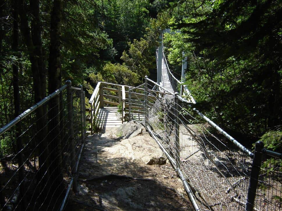
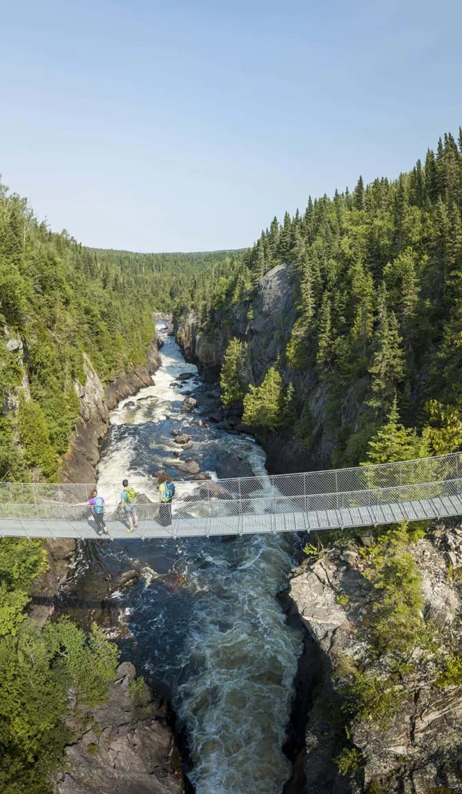
This hike offers a taste of the challenging Coastal Trail. You will pass along a rugged shoreline, through boreal forest wilderness and along boardwalks across wetlands (watch for moose, this is prime area), to the White River Suspension Bridge. The bridge is the perfect viewpoint to see the dramatic Chigamiwinigum Falls 23 metres below. If you want to break the hike into two, take your tent and backpack and stay at the Playter Harbour back country campground (reservations required).
How do I get to White River Suspension Bridge trailhead: Follow the signs from the Visitors Centre.
Read more: Parks Canada
Coastal Hiking Trail
Length: 60 km to 120 km (if you want to hike only one way, reserve a shuttle to either pick you up or drop you off)
Time: 5 – 9 days
Part of the Trans Canada Trail, this trail is rated one of the most challenging hikes in Canada. There’s even a mandatory orientation. The trail, which isn’t always well-marked (look for rock cairns), includes steep climbs over rocky shores and boulder gardens, forging streams and treacherous wet conditions (take your hiking poles!). But hard work always makes the rewards sweeter, and the lake vistas and beautiful Canadian Shield make it all worth the struggle.
How do I get to Coastal Hiking Trail trailhead: Follow the signs from the Visitors Centre.
Read more: Parks Canada
Mdaabii Miikna
Length: 24 km loop
Time: 2 – 3 days
Elevation Gain: Minimal
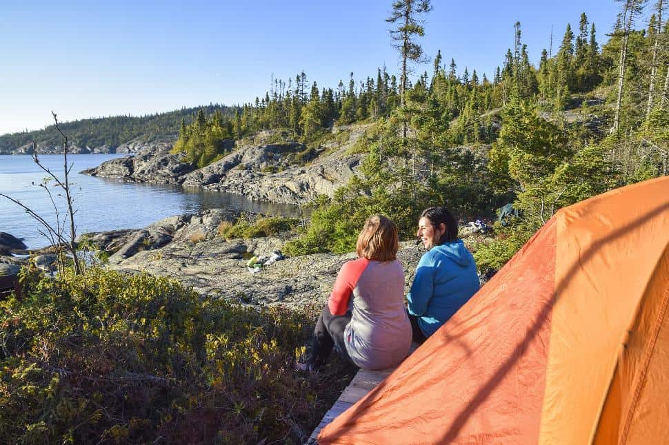
This new backcountry trail is a wonderful alternative to the Coastal Trail if you only have a weekend. Start by hiking Hattie Cove to Picture Rock Harbour South and onto Playter Harbour South. Between Playter Harbour and north of the White River Suspension Bridge, you’ll hike through lush forest, a natural rock tunnel and amazing Canadian Shield escarpments. You’ll sleep like a baby listening to the lapping waves of the lake under star-filled skies.
How do I get to Mdaabii Miikna trailhead: Follow the signs from the Visitors Centre, and then watch again for the signs at Playter Harbour or north of the White River Suspension Bridge.
Read more: Parks Canada
Have you hiked these trails in Pukaskwa National Park?
Share this article with your hiking buddies!


