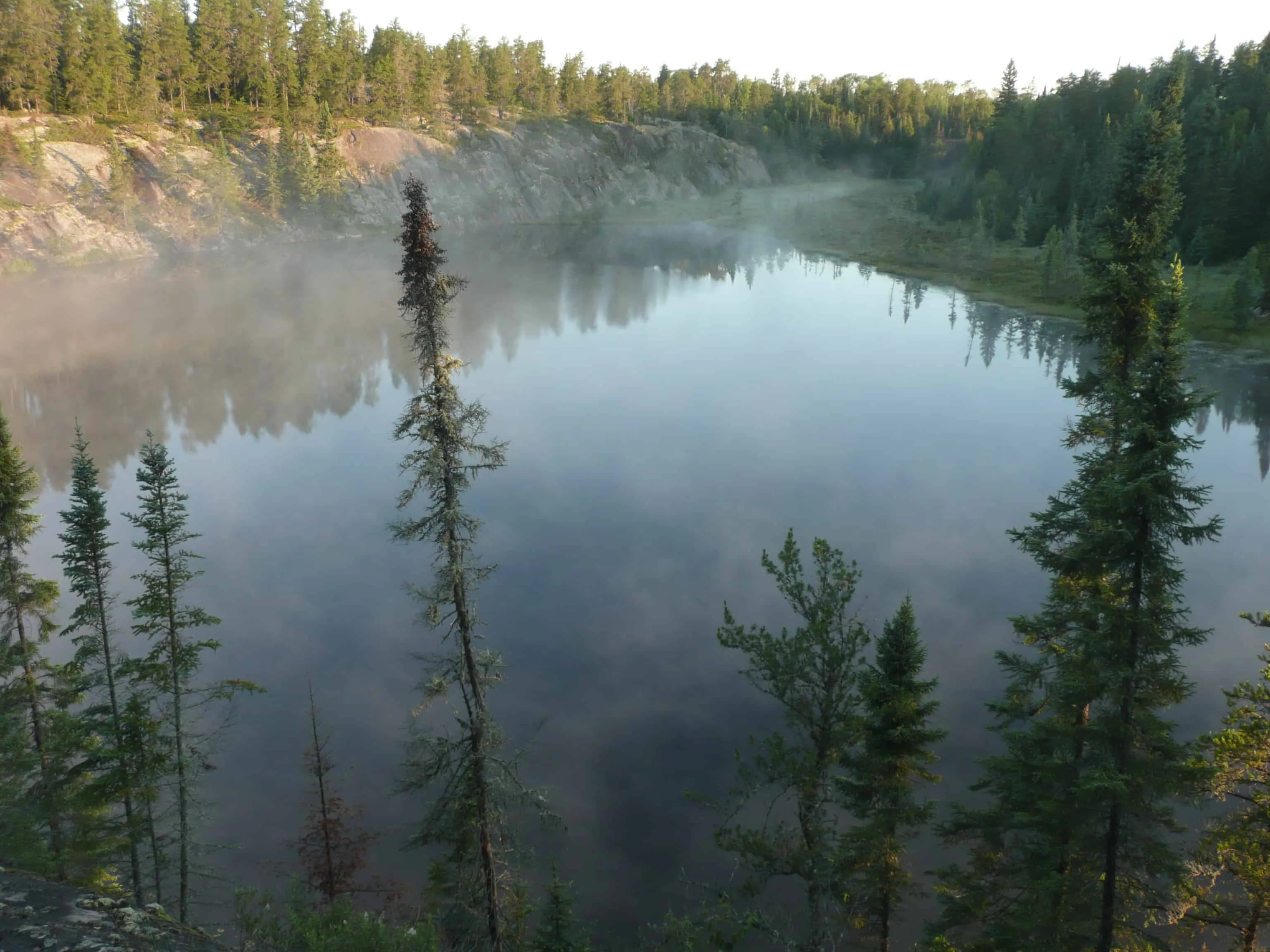
10 of the Best Hiking Trails near Lake of The Woods, Ontario

Deep, dark lakes. Soaring evergreens. Granite outcroppings. These features make the Lake of the Woods region magical, maybe even a bit mysterious. The lake itself rests mostly in Ontario with a tiny pond inside Manitoba borders and another section inside Minnesota. But it’s the woods and waters that surround it that make for some of the most scenic hikes in Canada. Here are our top ten.
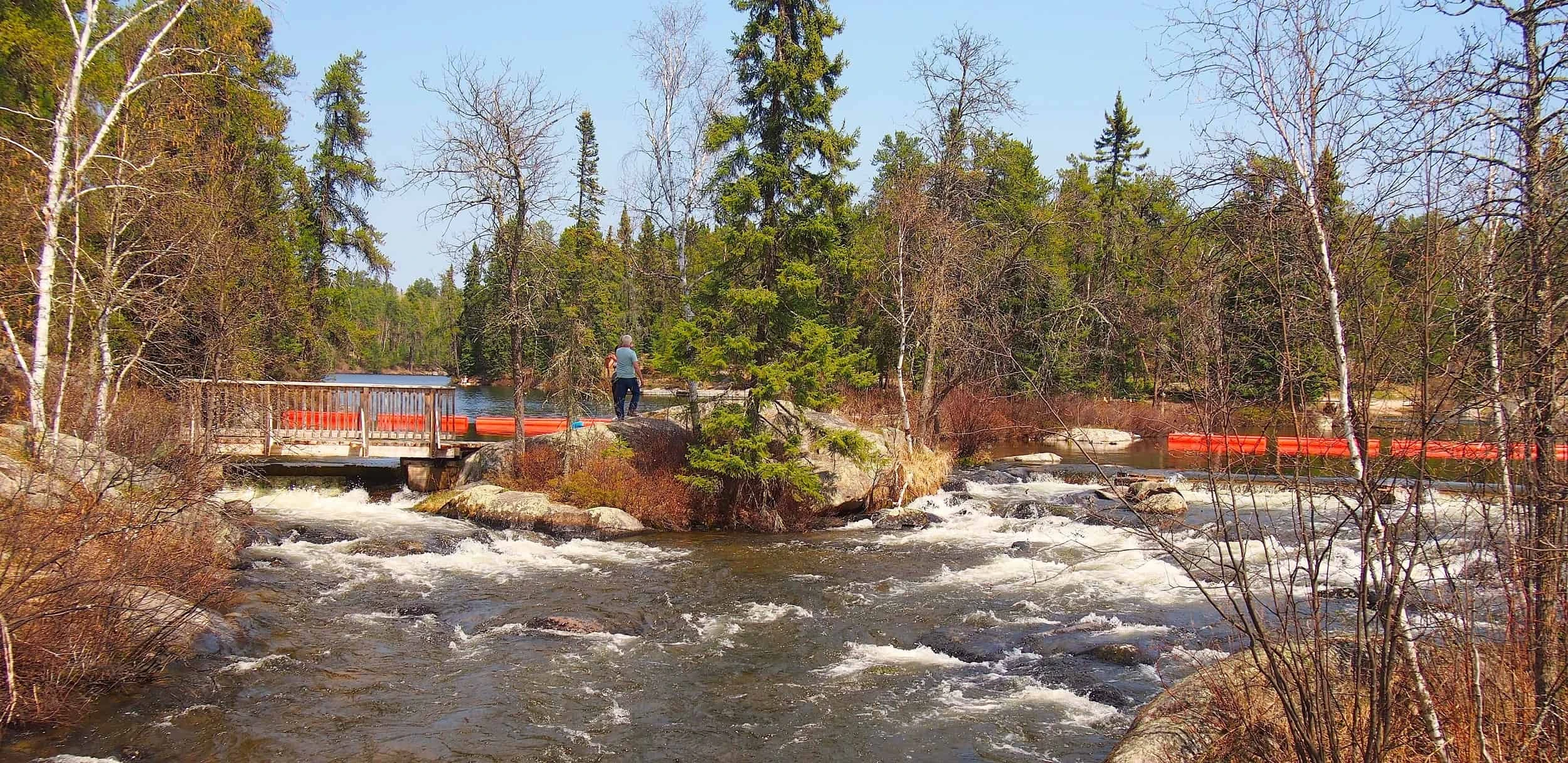
Granite Knoll Trail (Rushing River)
Length: 2.7 km
Time: 1.5 hours
Of the four trails at Rushing River, Granite Knoll is the longest as it skirts along the shoreline of Dogtooth Lake and through the Canadian Shield. Be sure to wear proper hiking footwear; those granite outcroppings can get slick. Considering also hiking the Lower Rapids, Pine Ridge and Beaver Pond trails.
Read more: ontarioparks.com/park/rushingriver
Vernon Nature Trails
Length: 5 km
Time: 1 hour
The Boreal Forest Region, the St. Lawrence-Great Lake Forest Region and the Prairie Grasslands meet in this little piece of heaven southwest of Kenora. There are six hiking trails but the most interesting might be the Fern where you can spot a variety of species of the plant with delightful names including Sensitive, Ostrich, Lady and Cinnamon.
Read more: ontariotrails.on.ca
Club Minaki Trails (Minaki)
Length: 25 km
Time: at your leisure
This collection of trails near the community of Minaki puts the boreal forest in the spotlight. Trails range from one to 6.3 kilometres and there are several rest stops with picnic tables along the way. The trails are maintained by a non-profit group. Fees are $5 per person per day or $10 for a daily family pass.
Read more: minaki.ca
Sioux Narrows/Nestor Falls Trails
Length: 3.6 to 12 km
Time: 45 to 90 minutes
South of Kenora, these twin communities offer trails through the boreal forest. Near Nestor Fall, there’s Red Pine Trail and the Boreal Trail. The Aspen Trail near Sioux Narrows snakes around a large beaver pond.
Read more: ontarionaturetrails.com
Rat Portage Urban Trail (Kenora)

Length: 8 km
Time: 2 hours
This meandering city trail takes urban hikers over paved city streets, wooden walkways and interlocking bricks to see some of the sights of town including Husky the Muskie, the Goodwill Geyser in McLeod Park, Kenora’s waterfront and the Laurenson Creek area.
Read more: kenora.ca
Rabbit Lake Trail System (Jaffray Melick)
Length: 5 km
Time: 1 hour
Located in the northern stretches of the city of Kenora, this paved trail starts at Nairn Avenue and takes hikers to an elevation overlooking Rabbit Lake and then to Garrow Park Beach. Sections of the trail that venture into wooded areas have resting spots.
Read more: kenora.ca
Mink Bay Trail (Keewatin)
Length: 4.3 km
Time: 45 minutes
West of Kenora in the community of Keewatin, the Mink Bay Wetland trail system winds through the wetlands and wilderness areas of Mink and Portage Bay and into the green spaces and businesses of downtown Keewatin. Look for the Slabtown Way feeder trail for a peek into the history of the sawmill days.
Read more: kenora.ca
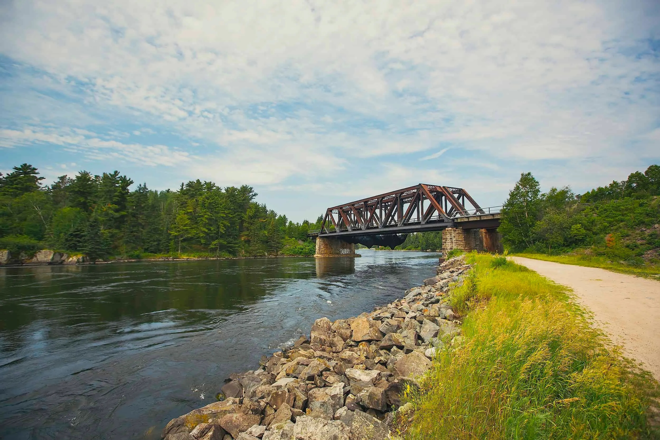
Wass’say’Gaa’Boo (Tunnel Island Trail)
Length: 10 km
Time: 3 hours
If it’s water views you want, this is the trail for you. Snaking around the shoreline of the Winnipeg River, this trail rests on an ancient meeting place with over 8,000 years of history. Hikers get to see the Norman Dam up close and may also be lucky enough to see eagles, pelicans, deer and fox.
Read more: kenora.ca
Kenora Nordic Trails, Mount Evergreen Ski Hill
Length: 20 km
Time: at your leisure
Pick as many loops as you’d like from this series of trails that wind through mixed forest and rocky ridges. Your reward for getting to the top of Mount Evergreen is a spectacular view of the Lake of the Woods. In winter, trails are groomed for skiing and closed to hiking.
Read more: Mount Evergreen Ski Hill
Whiteshell Trails
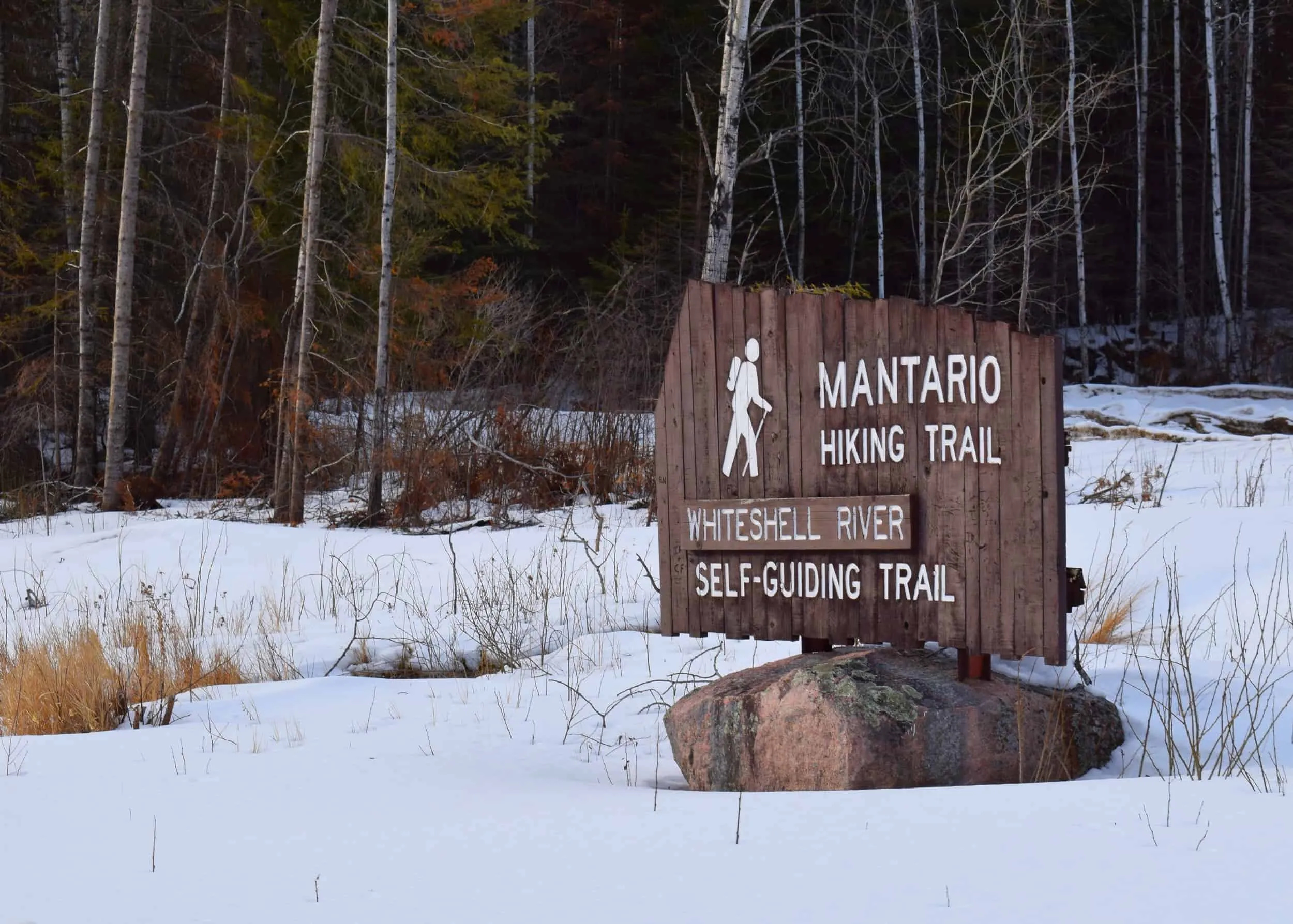
Length: 2.8 to 60 km
Time: at your leisure
From the three-kilometre Falcon Creek Trail to the 60-kilometre Mantario Trail, Manitoba’s Whiteshell Provincial Park is only 70 kilometres west of Kenora, making it a great stop for just one more hike, even though you have your choice of more than two dozen.
Read more: explorethewhiteshell.com
P.S. You can explore this area from Explore Adventure Island!
Explore Adventure Island has everything you could wish for when it comes to outdoor adventure—and you won’t have to share it with anyone else.
Bring your family to this secluded getaway for an immersive nature experience. Enjoy a private 1.2-kilometre hiking trail with varying elevation or explore the countless trails on the mainland.
The island is surrounded by old gold mine caves on nearby uninhabited islands. These can be explored with a short kayak trek. Swim, paddleboard, fish or just enjoy the peaceful nature of your own rented island this summer.
Perfect for family reunions or groups of friends, guests can stay in the cottage for a more contemporary experience while others who are more adventurous can set up tents in the camping area.
Explore Adventure Island offers unique outdoor adventure and exploring opportunities in one of the most beautiful spots in Canada!
As an Explore reader, you can be one of the first to stay on this brand-new, nature haven island!