


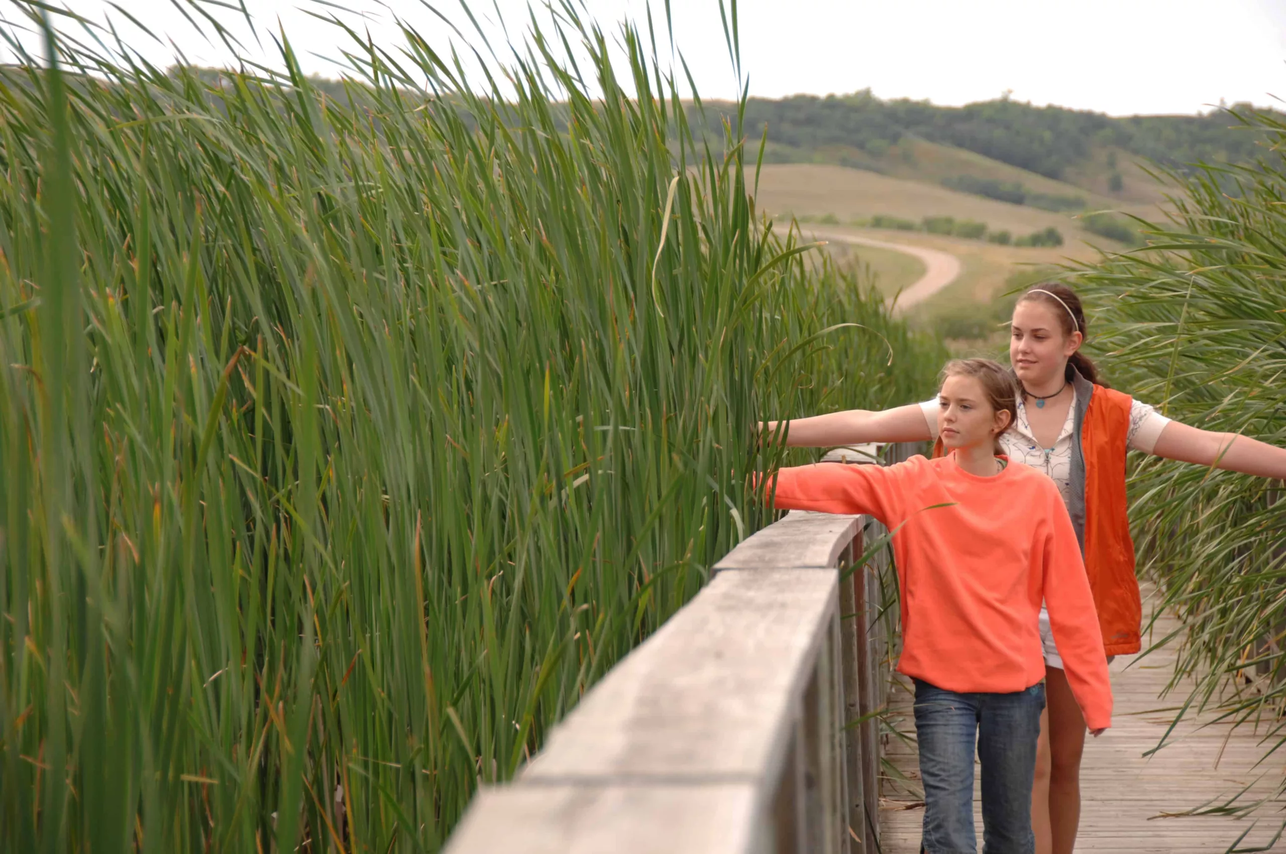
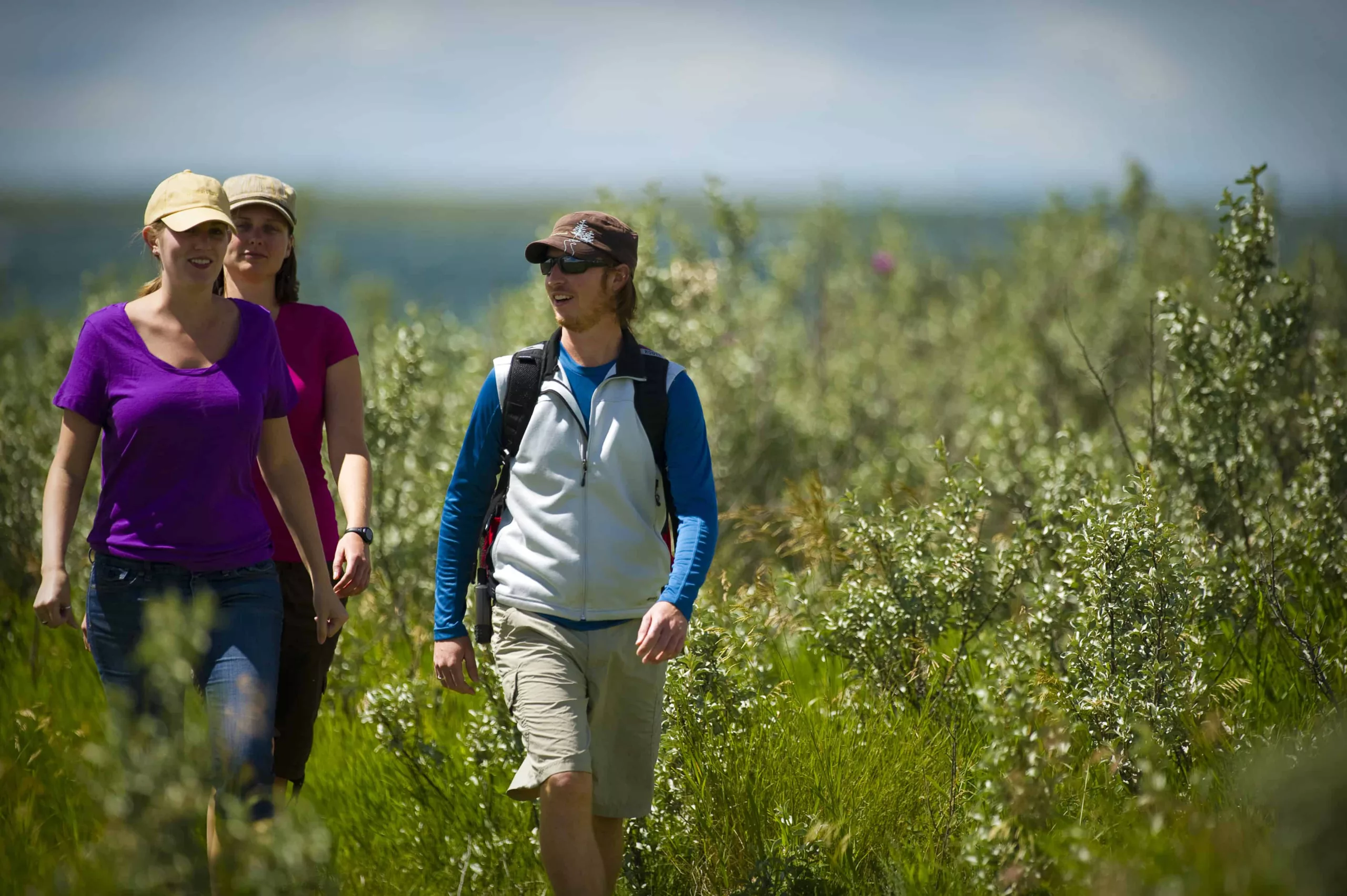
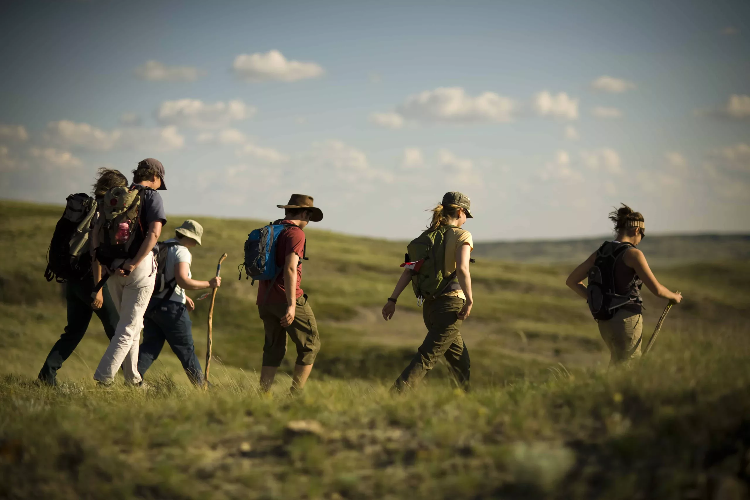
The 25 Best Hiking Trails in Saskatchewan


This prairie province is home to rolling fields, peaceful lakes and hiking trails for all levels. Fish on calm waters, dig up the past and wander through wildlife habitats on these 25 incredible hikes in Saskatchewan:
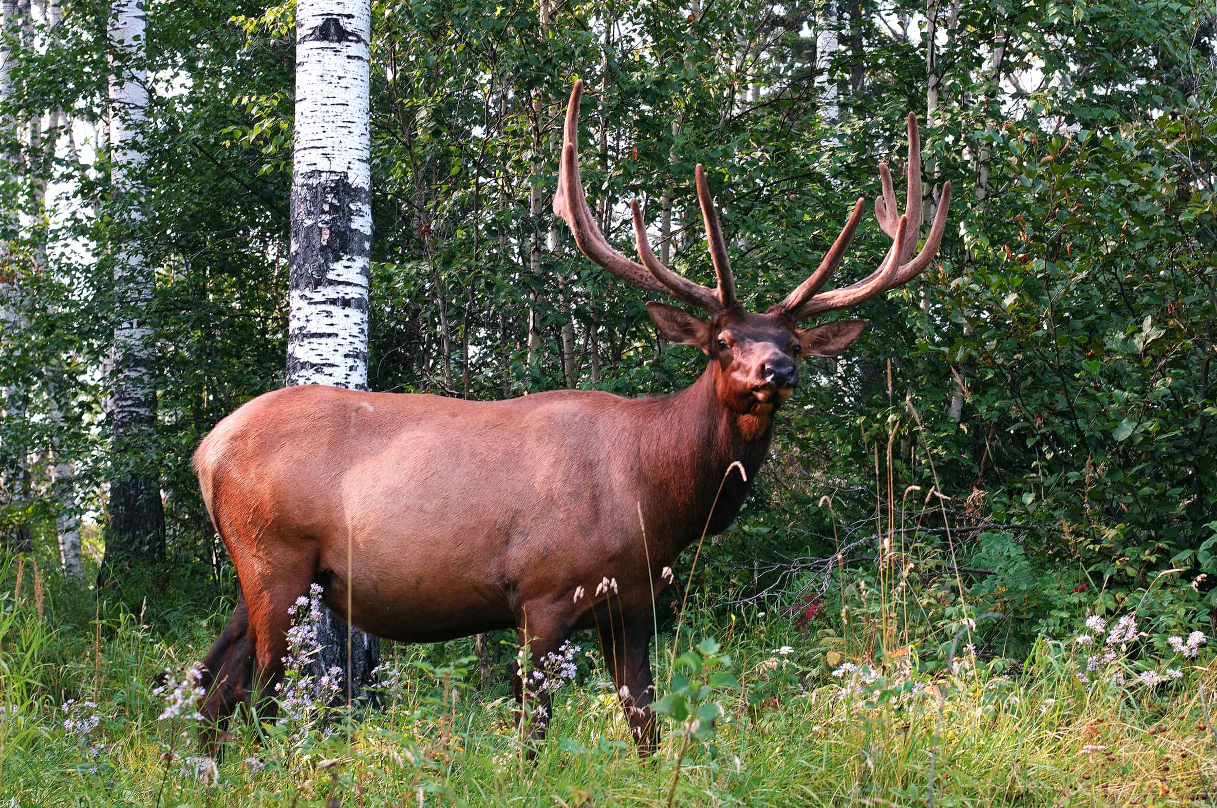
1. Candle Lake Elk Pens
Candle Lake Provincial Park
Total Distance: 2.5 km
Difficulty: Easy
Details: Trek to the historic elk pens at Candle Lake, northwest of Prince Albert. These pens were once used to round up elk herds so they could be transported elsewhere in the province.
How do I get to the trailhead? North of Minnowaka in the Candle Lake Provincial Park, just off Highway 120.
Read more: saskhiker.com
2. Homestead Heritage Trail
Candle Lake Provincial Park
Total Distance: 5 km
Difficulty: Easy
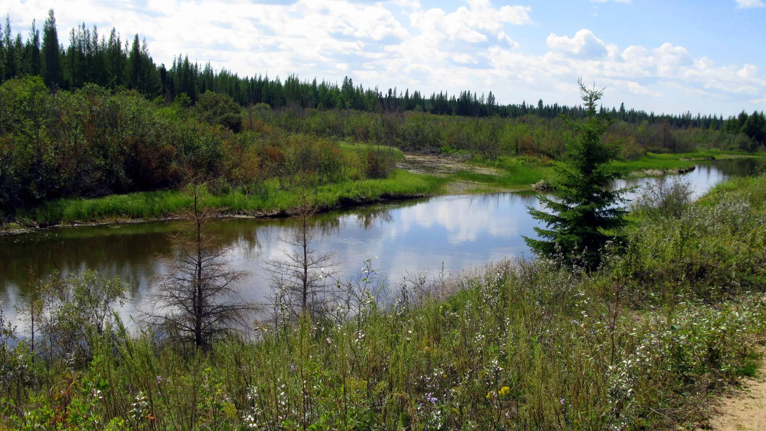
Details: The Homestead Heritage Trail walks you through the life and history of the Aschim family, who were some of the first loggers in the area. Within the first kilometre of the trail, you will find a replica cabin, old smokehouse and boardwalk. In the summer, come bearing bug spray as this trail is known to attract mosquitos. In cooler weather, you’ll be able to enjoy all of the beautiful sights along the way including dense forest, moss beds and wetlands, without the bugs.
How do I get to the trailhead? The trailhead is situated along Highway 120, about seven kilometres south of Candle Lake. The trailhead is in the parking lot.
Read more: tourismsaskatchewan.com
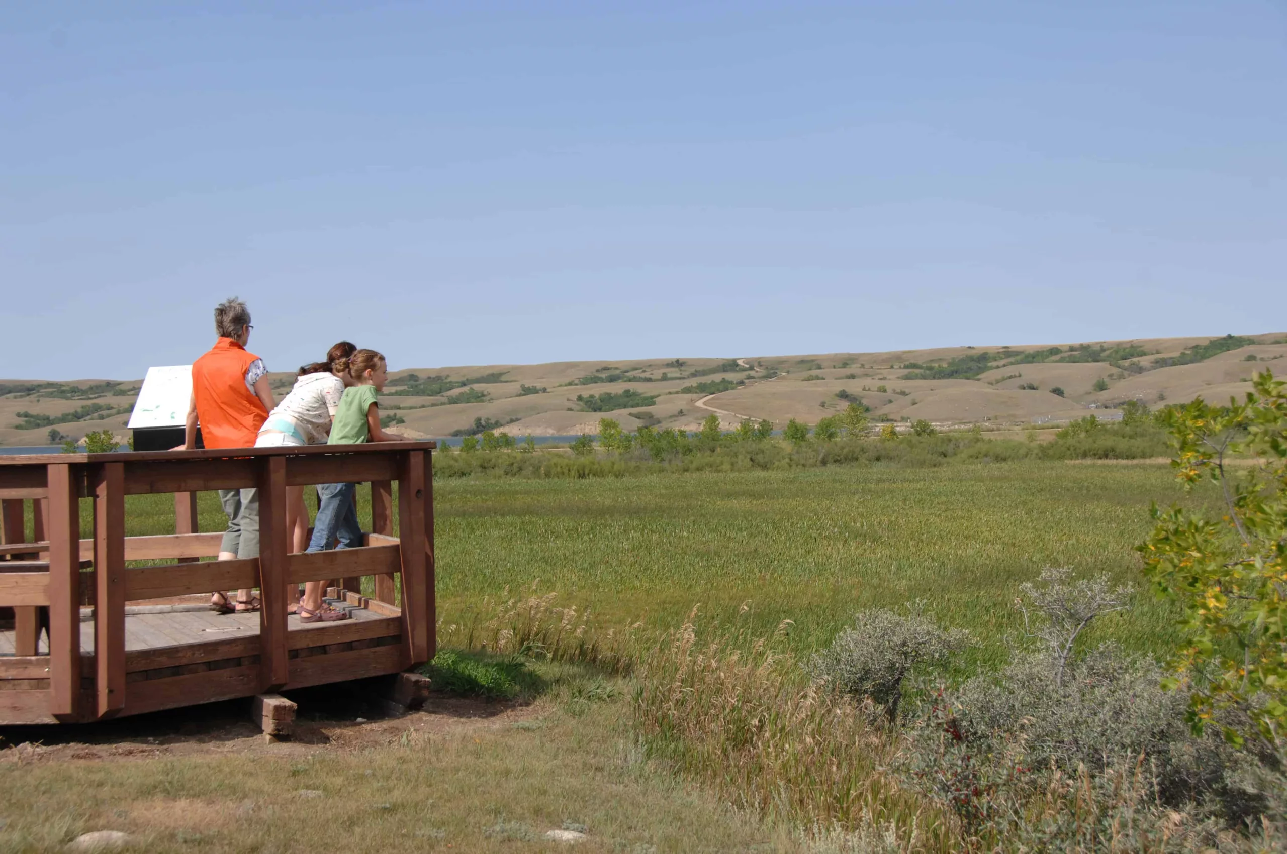
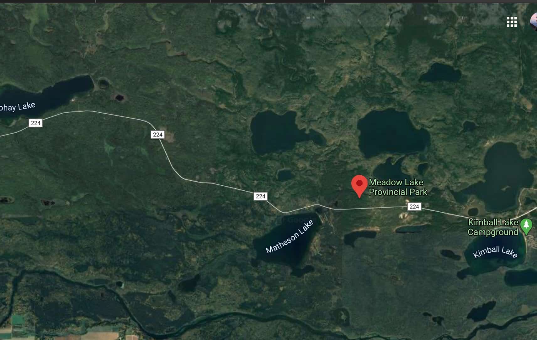
3. Kimball Lake Hiking Trail
Meadow Lake Provincial Park
Total Distance: 6.5 km
Difficulty: Moderate
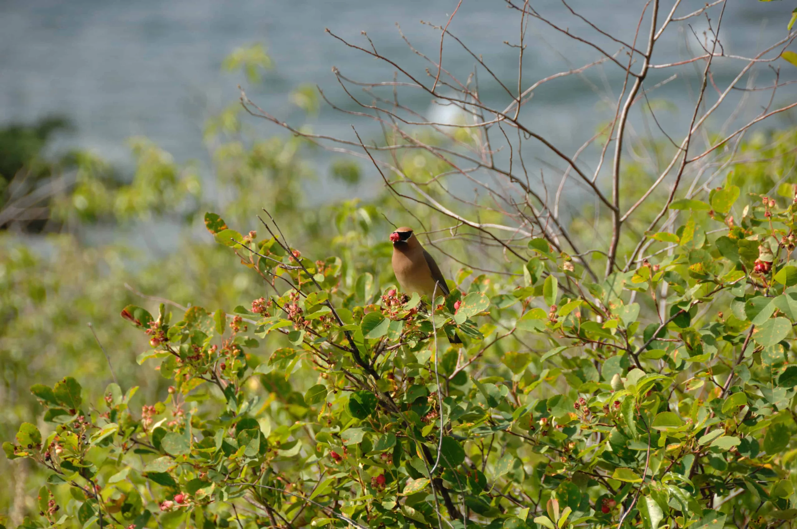
Details: This long loop winds around Raspberry Lake, where you can spot an abundance of wildlife. The lake is stocked with cutthroat trout. There’s the option for a shorter, two-kilometre-loop if you’re on a time crunch.
How do I get to the trailhead? The trailhead is in the Kimball Lake campground in Meadow Lake Provincial Park.
Read more: tourismsaskatchewan.com
4. Boreal Trail
Meadow Lake Provincial Park
Total Distance: 120 km
Difficulty: Moderate
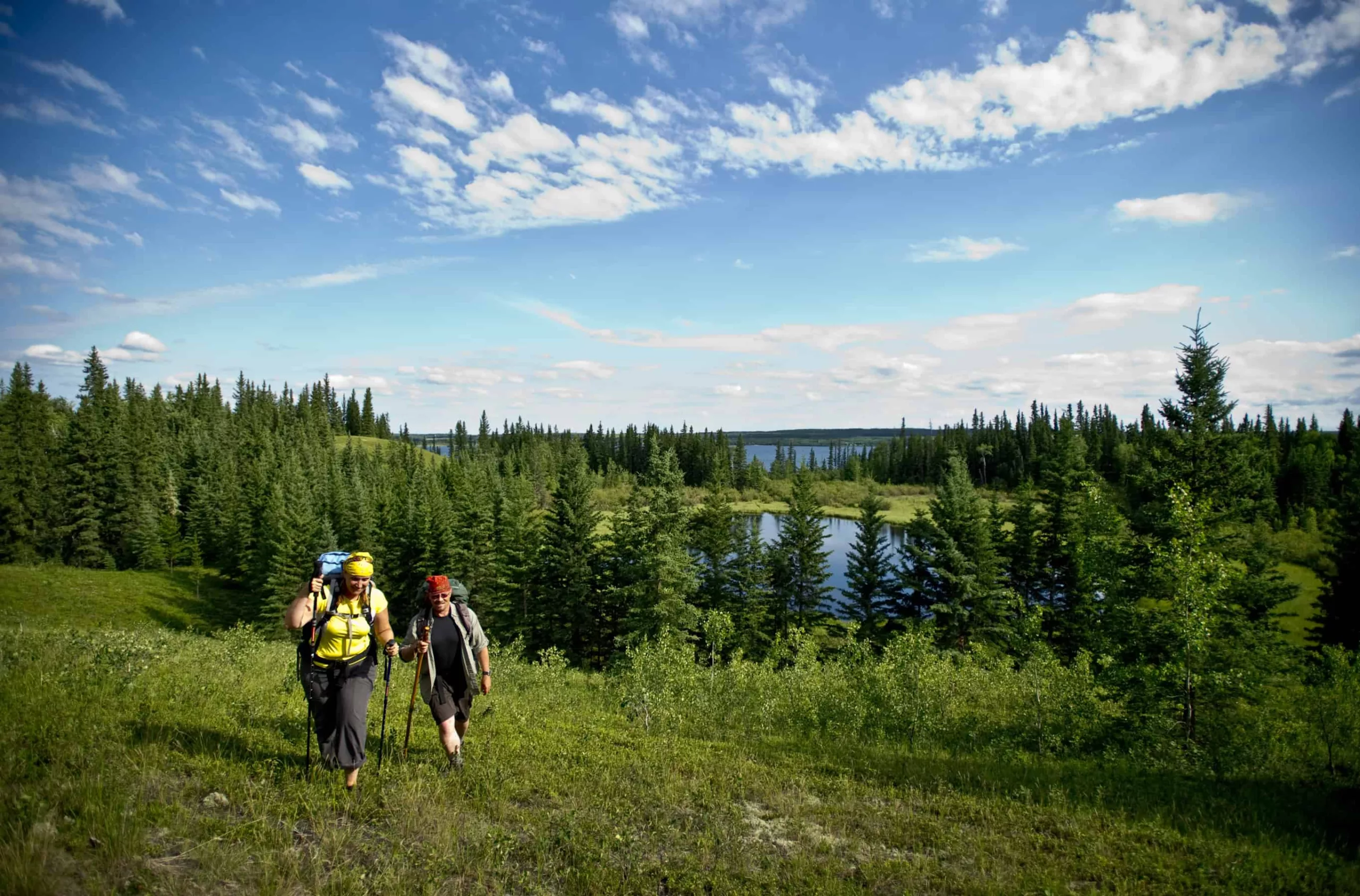
Details: The Boreal Trail is the longest hiking trail in Saskatchewan and the province’s premiere backpacking route. Climb rocky cliffs, trace the edges of massive lakes and customize your route to make the trip fit your needs. Hiking the Boreal Trail requires pre-registration and costs $11 per tent per night. The trail is open from May long weekend to Labour Day.
How do I get to the trailhead? The trailhead is located at Cold Lake.
Read more: tourismsaskatchewan.com
5. Sergeant Lake Hiking Trail
Duck Mountain Provincial Park
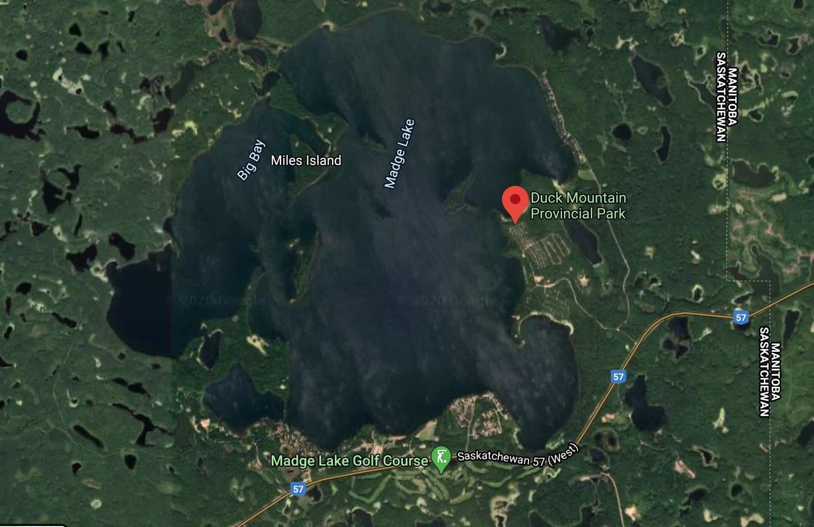
Total Distance: 13 km
Difficulty: Moderate
Details: The Kamsack Ski Club maintains many trails within Duck Mountain Provincial Park; Sergeant Lake loop is one of the longer ones. There are two structures along the way that you can use to warm up, seek shelter from the weather or even sleep in. The dense forest and rolling hills make this a scenic hike.
How do I get to the trailhead? The park is located on Highway 57, approximately 25 kilometres east of Kamsack.
Read more: saskhiker.com
6. Gem Lakes Hikes
Narrow Hills Provincial Park
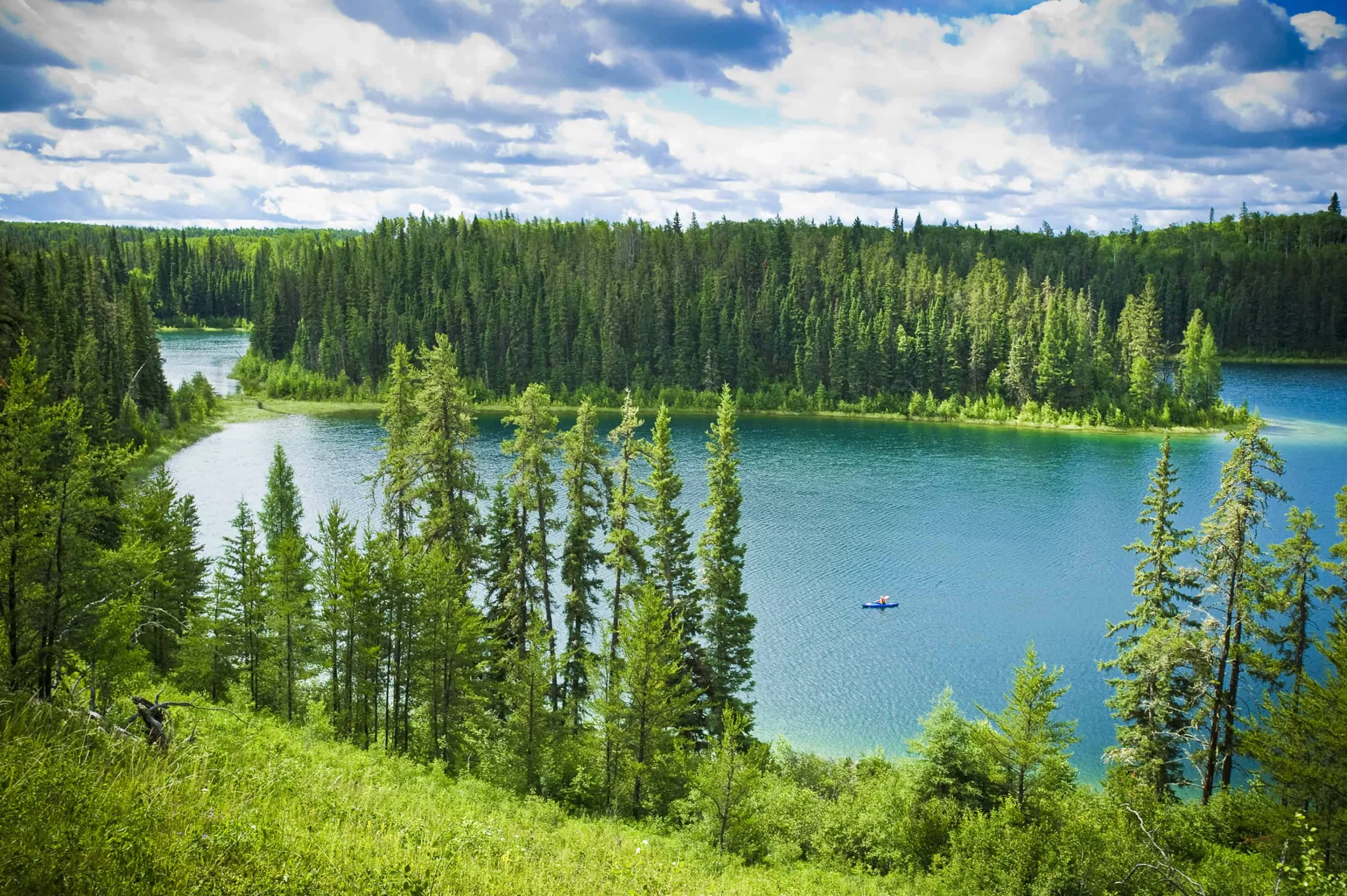
Total Distance: 5.5 km
Difficulty: Easy
Details: The Gem Lakes reflect like precious stones, which is how they got their names. The waters are stocked by Saskatchewan Fisheries, which makes for excellent angling. For those interested in camping, there are some backcountry sites available on a first-come, first-served basis at Jade, Opal and Diamond Lakes.
How do I get to the trailhead? The park is located off Highway 106 in Narrow Hills Provincial Park.
Read more: tourismsaskatchewan.com
7. Nut Point Hiking Trail
Lac La Ronge Provincial Park
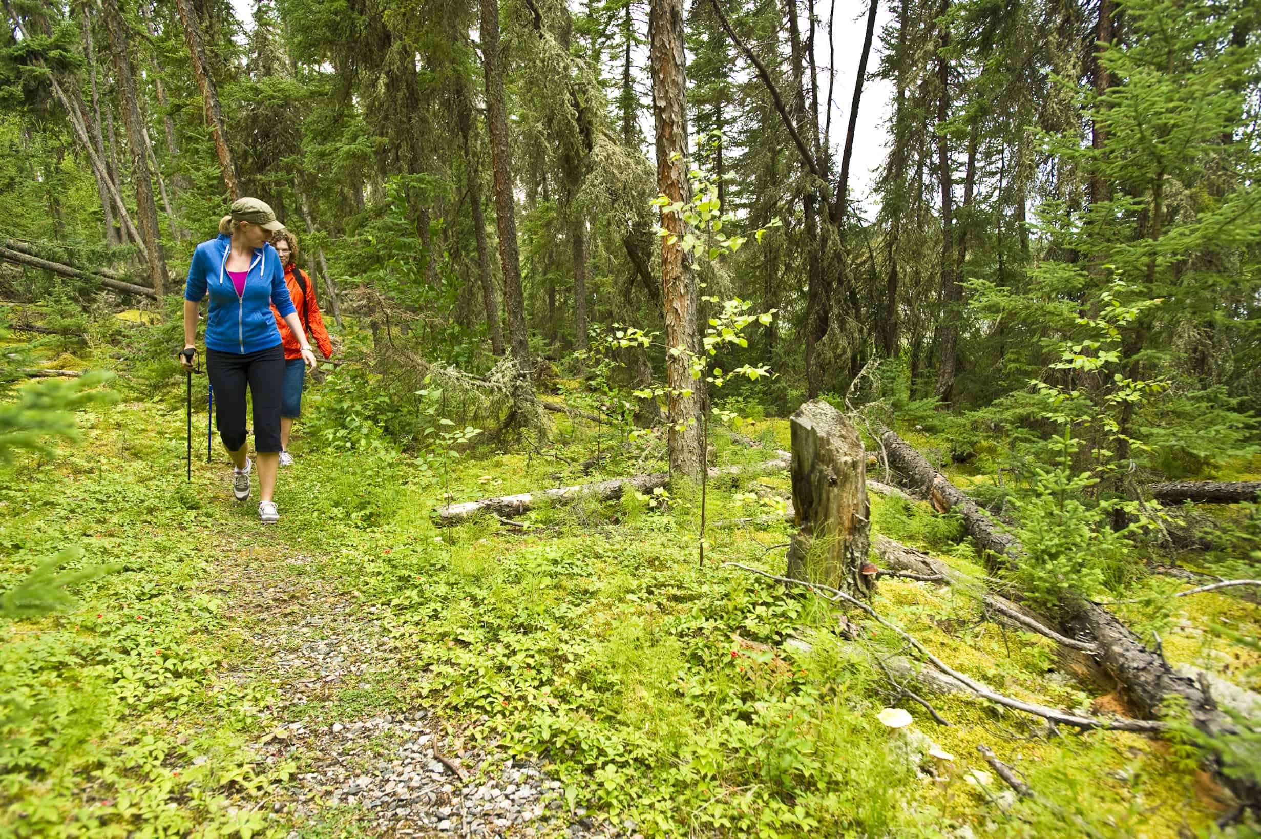
Total Distance: 30 km
Difficulty: Difficult
Details: The Nut Point Hiking Trail lets you explore the best of what northern Saskatchewan and the Canadian Shield have to offer. Although there aren’t many steep sections, there will be rocks along the trail that you need to climb over and possible slippery sections. Many people complete the trail in one long day, but you can also hike to the end of the peninsula and camp out. The views are stunning at the end of the trail, so you’ll likely want to pitch a tent and stay awhile.
How do I get to the trailhead? The trailhead is located within the Nut Point Campground.
Read more: tourismsaskatchewan.com
Bloggers who have lived the adventure: hikebiketravel.com
8. Living Sky Trail
Beaver Creek Conservation Area
Total Distance: 3.2 km
Difficulty: Easy
Details: The Living Sky Trail is part of a larger network of trails within the Beaver Creek Conservation Area. These trails crisscross, but you can start on the Living Sky Trail and explore as much or as little as you want. You’ll likely see plenty of wildlife during your hike, but because the trail is a short distance from the city, you might also see quite a few people if you go on the weekend. There are no dogs allowed in the conservation area.
How do I get to the trailhead? Drive south from Saskatoon on Highway 219 for about 13 kilometres. Past Beaver Creek, a large, brown sign marks the trailhead.
Read more: meewasin.com
Bloggers who have lived the adventure: familyfuncanada.com
9. Path of the People
Wanuskewin Heritage Park
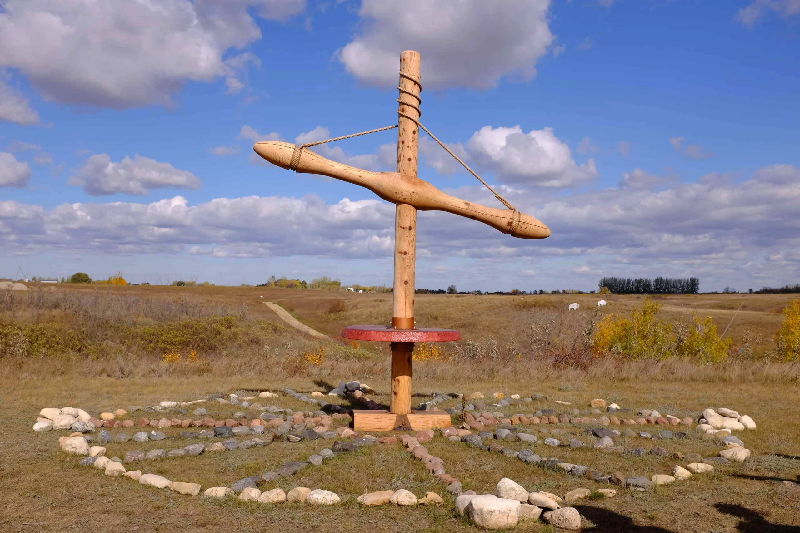
Total Distance: 6 km
Difficulty: Easy
Details: The Wanuskewin Heritage Park is a popular place for history enthusiasts looking to explore the outdoors. During your hike, you’ll be treated to views of the South Saskatchewan River and Opimihaw Creek, as well as several Indigenous heritage sites including two buffalo jump sites, a Medicine Wheel and tipi rings. Because this area attracts tourists and school groups, it might be busy.
How do I get to the trailhead? Drive north from Saskatoon on Highway 11, following signs bearing a buffalo. Turn right onto Wanuskewin Road and the park will be your first left.
Read more: tourismsaskatchewan.com
10. Gift of Green Nature Trail
Pike Lake Provincial Park
Total Distance: 1.5 km
Difficulty: Easy
Details: Located about 20 minutes southwest of Saskatoon, Pike Lake is shallow, protected by trees and free from large boats. Therefore, it’s perfect for paddlers. Go for a SUP ride and then enjoy short trek offering wildlife and diverse views.
How do I get to the trailhead? The trailhead is located within Pike Lake Provincial Park, behind the nature centre by the camp office.
Read more: tourismsaskatchewan.com
11. Jorgen’s Trail
Duck Lake Provincial Park
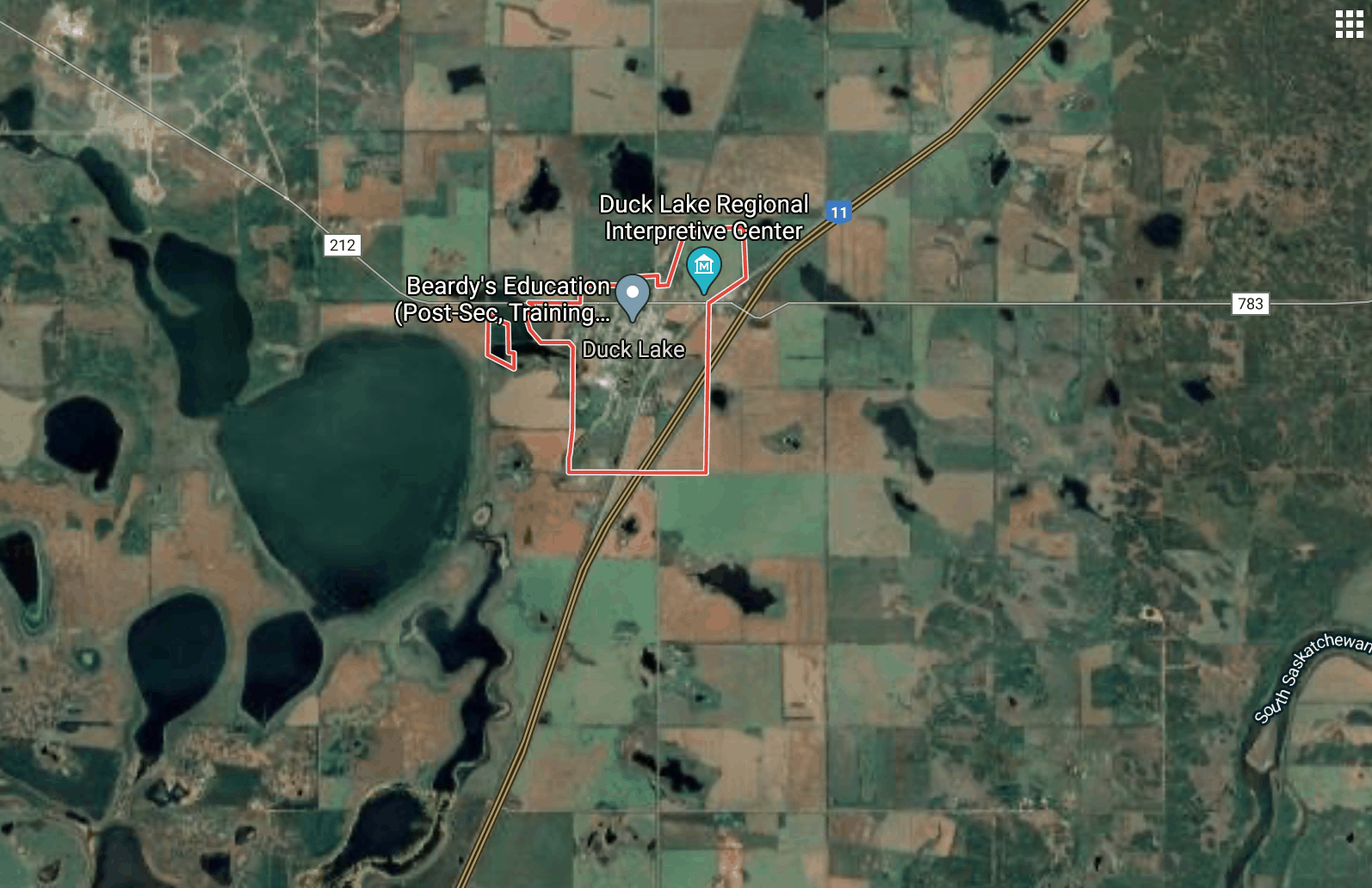
Total Distance: 13 km
Difficulty: Moderate
Details: Escape the city to Duck Lake and you’ll be rewarded with scenic views other than prairies. The trail system is has over 50 kilometres total, but Jorgen’s Trail is a great length for a summer hike. The trails are maintained by the Saskatoon Nordic Ski Club.
How do I get to the trailhead? Jorgen’s Trail is situated within Duck Lake Provincial Park. There are several trails here. The trails are located on the west side of Highway 11, between Saskatoon and Prince Albert.
Read more: canoeski.com
12. Wascana Valley Trails
Regina
Total Distance: 15 km total
Difficulty: Easy to moderate
Details: Approximately 10 kilometres from Regina, you’ll find a beautiful valley full of trails for hiking and biking in the summer months, and snowshoeing, sledding and cross-country skiing trails in the winter. There are over 15 kilometres of well-maintained hiking trails here that offer incredible views of the Qu’Appelle Valley. Don’t forget your camera!
How do I get to the trailhead? Take Highway 11 northwest from Regina towards Wascana Valley.
Read more: tourismsaskatchewan.com
13. SkyTrail
Outlook
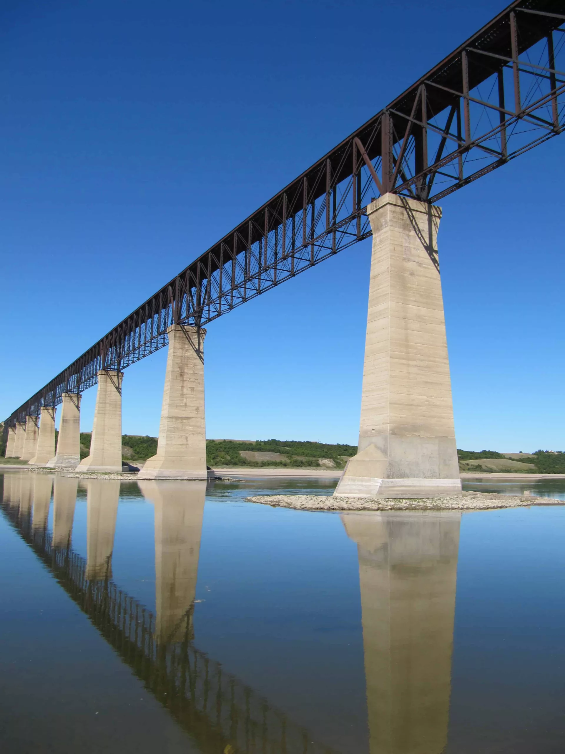
Total Distance: 6 km
Difficulty: Easy to moderate
Details: Part of The Great Trail, the SkyTrail loops through Outlook and the surrounding park. The star feature is the one-kilometre long, 46-metre high pedestrian bridge which is the largest of its kind in Canada. Unfortunately, it is currently closed to the public.
How do I get to the trailhead? There are signs along Main Street, Outlook, directing you to the SkyTrail entrance. Outlook is located along Highway 15.
Read more: townofoutlook.ca
14. Nicolle Flats Nature Area
Buffalo Pound Provincial Park
Total Distance: 1.5 to 8 km
Difficulty: Moderate
Details: There are several mountain biking and hiking trails here. Trails range from the 1.5- kilometre Valley Interpretive Trail to the eight-kilometre Dyke Trail, which is part of the TransCanada Trail.
How do I get to the trailhead? The park is located 19 kilometres north of Moose Jaw on Highway 2.
Read more: tourismsaskatchewan.com
15. Chief Whitecap Park Trail
Saskatoon
Total Distance: 7 km
Difficulty: Easy
Details: This trail follows the banks of the South Saskatchewan River. The gravel path yields wonderful views, including open prairie and a beautiful, sandy beach at Chief Whitecap Park.
How do I get to the trailhead? Park at Deifenbaker Park and walk down to the river. South of Circle Drive Bridge, you’ll find the trail that will take you to Chief Whitecap Park.
Read more: saskhiker.com
16. Trans Canada Trail (The Great Trail)
Douglas Provincial Park
Total Distance: 3 km
Difficulty: Easy
Details: Douglas Provincial Park offers everything you could want for a weekend adventure: camping, hiking, boating, golfing, angling, geocaching, birding and swimming. About halfway through your hike, you can head down to the beach for a lakeside picnic and dip in the sparkling waters.
How do I get to the trailhead? Douglas Provincial Park is located off Highway 19 on the southeast end of Lake Diefenbaker.
Read more: tourismsaskatchewan.com
17. Juniper Nature Trail
Douglas Provincial Park
Total Distance: 2.5 km
Difficulty: Easy
Details: If you’re staying at the Douglas Provincial Park, the dunes are a must-visit. They are the remains of a massive lake from the last ice age, and now the area is covered in a fine sand. This area is incredibly unique and photogenic.
How do I get to the trailhead? The trailhead for the Dunes Nature Centre Trail is located at the Dunes Nature Centre across the highway from the Douglas Provincial Park main entrance. The park is located off Highway 19 at the south end of Lake Diefenbaker.
Read more: tourismsaskatchewan.com
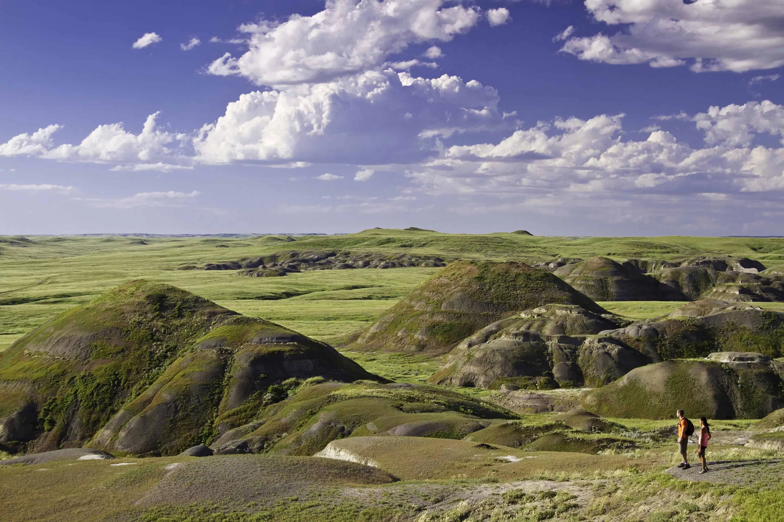
18. Elk Trail
Prince Albert National Park
Total Distance: 53 km
Difficulty: Difficult
Details: Follow this old freight trail through woodland that offers glimpses of Sandy Lake. Trek 13 kilometres to Fish Lake and set up camp or continue on an extra two kilometres to Camp Lake. Hunter’s Lake Campground is 26 kilometres in. If you’re feeling ambitious, continue all the way to Sturgeon Lookout.
How do I get to the trailhead? The trailhead is off Highway 263, 40 kilometres from the Visitor’s Centre in Prince Albert National Park.
Read more: pc.gc.ca
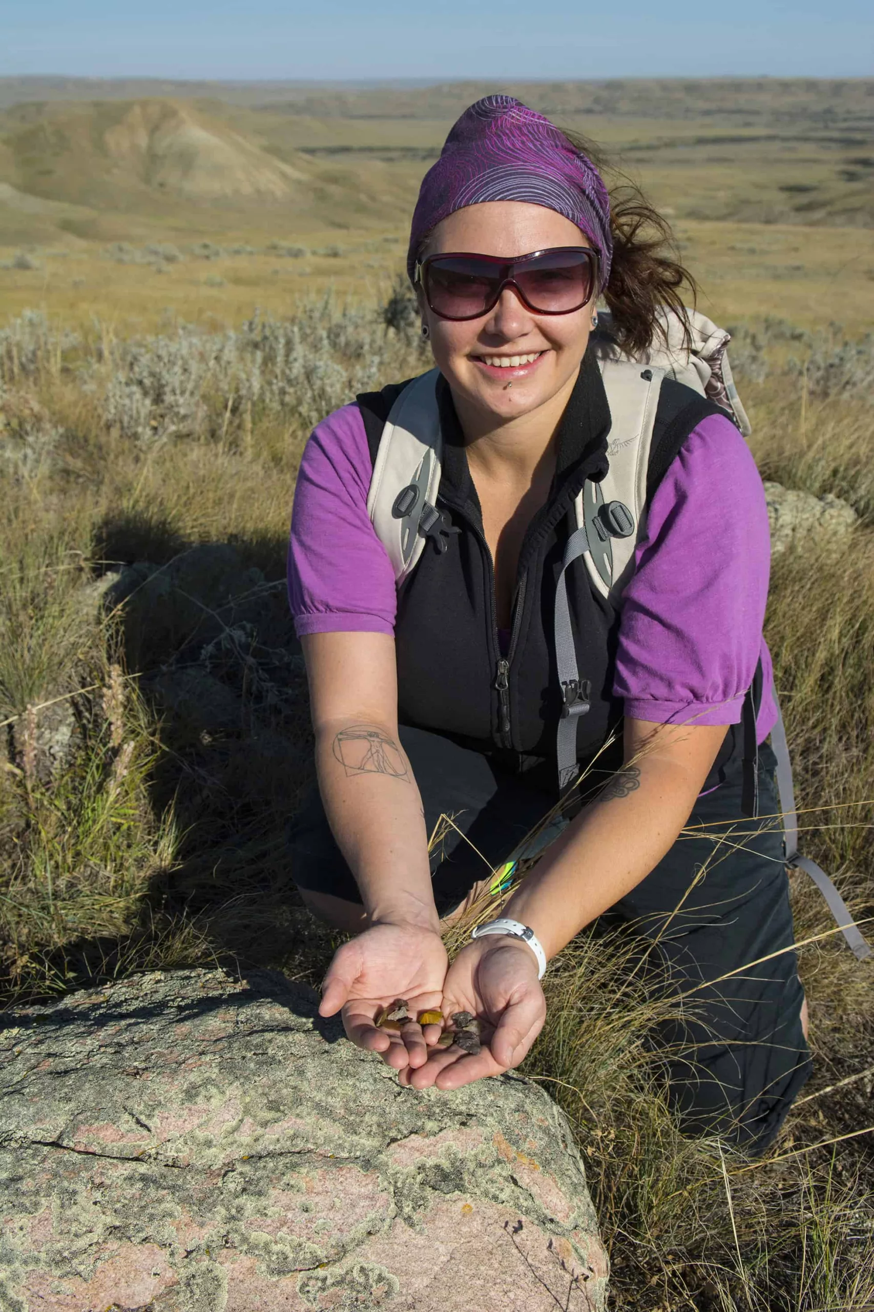
19. 70 Mile Butte
Grasslands National Park
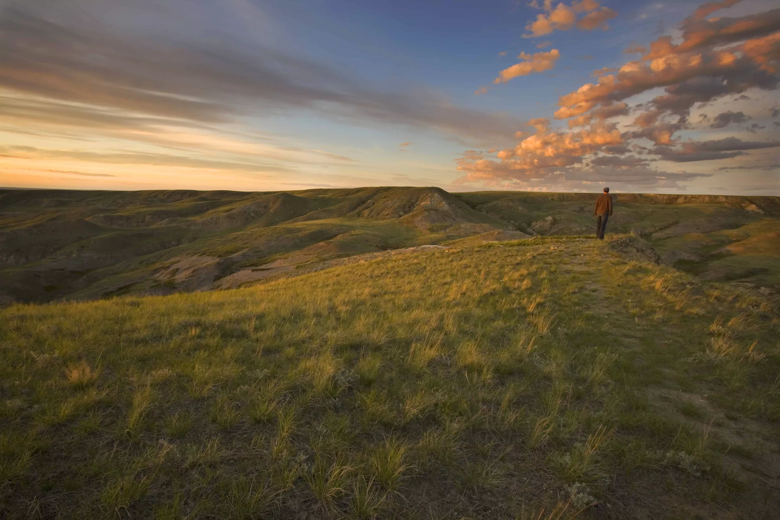
Total Distance: 4.1 km
Difficulty: Difficult
Details: This steep climb will get your heart pumping—but the rewarding view at the top will be well-worth your efforts.
How do I get to the trailhead? Starting at Grasslands National Park’s Visitor’s Centre, drive south on Highway 4 for three kilometres, turn east and continue for five kilometres.
Read more: pc.gc.ca
20. Mustus Peitahigan Loop
Meadow Lake Provincial Park
Total Distance: 11 km
Difficulty: Easy
Details: Humans and wildlife share this trail, along with on-leash dogs. Be prepared to encounter deer, wolves and bears along the way to Peitahigan Lake, where sweaty hikers can cool off with a swim.
How do I get to the trailhead? Start at the “Nature Trail” sign near the campground in Meadow Lake Provincial Park.
Read more: tourismsaskatchewan.com
Bloggers who have lived the adventure: hikebiketravel.com
21. Riverwalk Trail
Grasslands National Park
Total Distance: 3.3 km
Difficulty: Easy
Details: The Riverwalk Trail follows the Frenchman River, and it offers an easy hike with opportunities to stop for lunch and take in the views.
How do I get to the trailhead? This trail is in the west block of Grasslands National Park, 120 kilometres south of Swift Current. Find trailhead information at the Visitor’s Centre.
Read more: pc.gc.ca
22. Broken Hills
Grasslands National Park
Total Distance: 11.2 km
Difficulty: Difficult
Details: The Broken Hills Trail offers a unique look at the prairie country. In this Dark Sky Reserve, you’ll have the chance to spot mule deer, hawks and other wildlife on your journey. Bikes, horses and hikers all frequent this trail.
How do I get to the trailhead? This trail is in the west block of Grasslands National Park, near Val Marie.
Read more: pc.gc.ca
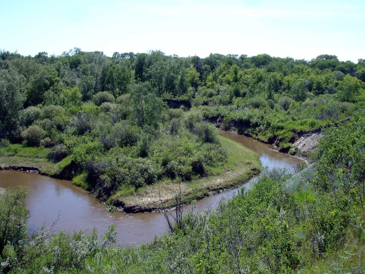
23. Bearspaw Sea Trail
Grasslands National Park
Total Distance: 9.6 km
Difficulty: Difficult
Details: This hike offers a true Saskatchewan experience: hiking up and down the landscape through coulees, taking in the vistas from the top and experiencing all that Mother Nature has to offer in the depths of the Frenchman Valley.
How do I get to the trailhead? The visitor centre for this trail is near Highway 18 and Highway 4. From here you can find updated trail information.
Read more: pc.gc.ca
24. Butte Creek/ Red Butte Route
Grasslands National Park
Total Distance: 16 km
Difficulty: Difficult
Details: This challenging hike offers the opportunity to see plenty of wildlife, including Curlews, Swift Fox and Sage Grouse. A creek crossing and views from the summit make this trail a must-do for experienced hikers.
How do I get to the trailhead? This trail is in the east block of Grasslands National Park. The visitor centre is located near the town of Wood Mountain.
Read more: pc.gc.ca
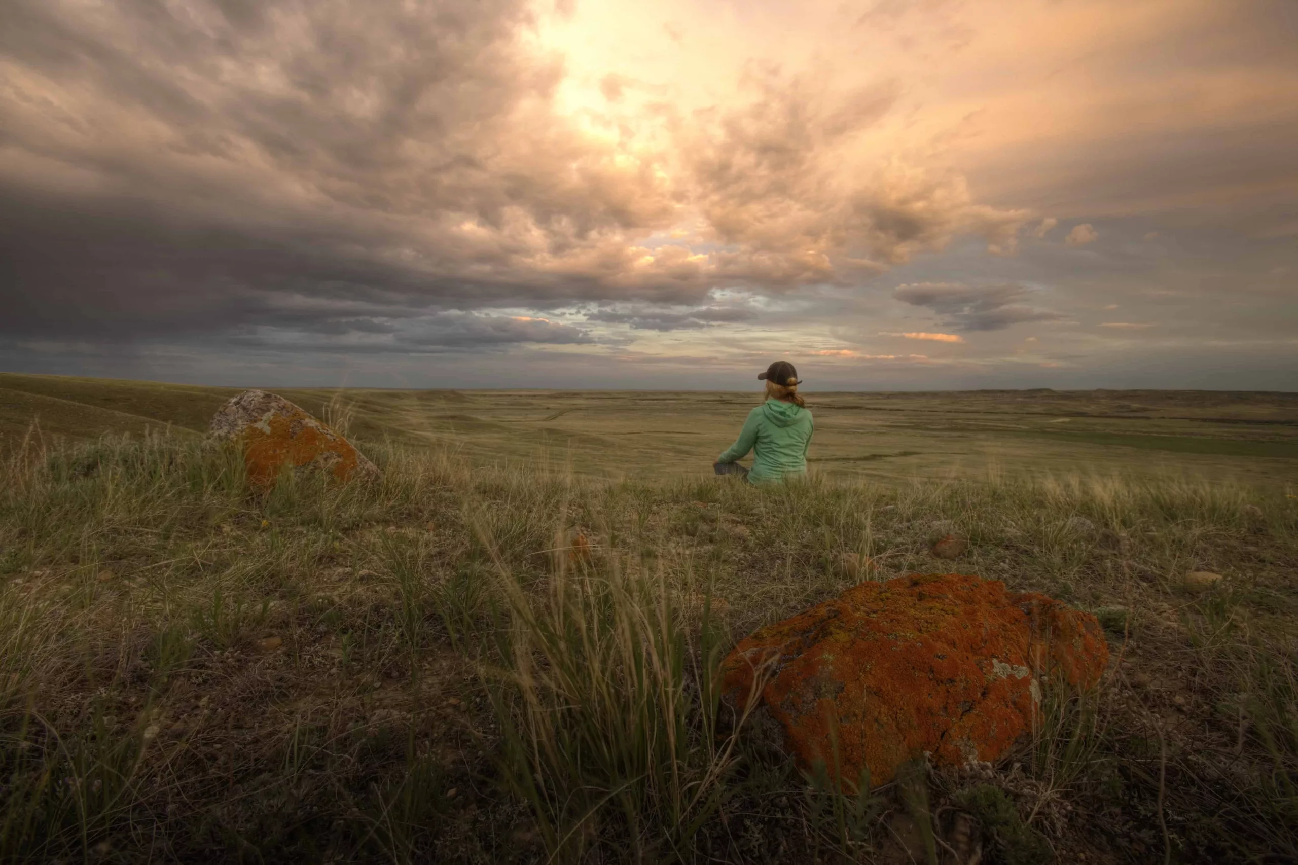
25. Valley Of 1,000 Devils Route
Grasslands National Park
Total Distance: 12 km
Difficulty: Difficult
Details: Arguably the most unique trail on our list, this hike will take you past acres of red-clay hoodoos for views you simply won’t find anywhere else. Keep an eye out for dinosaur bones, Aboriginal tepee rings and nesting golden eagles. Although difficult, this is a hike you won’t want to pass up.
How do I get to the trailhead? This trail is in the east block of Grasslands National Park. Trailhead information is available at the Visitor’s Centre near Wood Mountain.
Read more: explore-mag.com
Have you been hiking in Saskatchewan?
Which trail is your favourite?
Comment below!


