


10 of the Best Trails Near Port Moody BC


Having grown up in the Tri-Cities area of British Columbia’s Lower Mainland, I’ve always felt that I was stuck right between the fun outdoor activities of Vancouver and the national parks closer to Maple Ridge. Hopping on transit to get to Lynn Canyon takes too many steps, and driving out to Golden Ears takes too long—but this doesn’t mean I was starved for outdoor adventures. There are plenty of fun spots to explore in the Port Moody area. From Rocky Point to the lakes near Belcarra, here are some of our top picks.
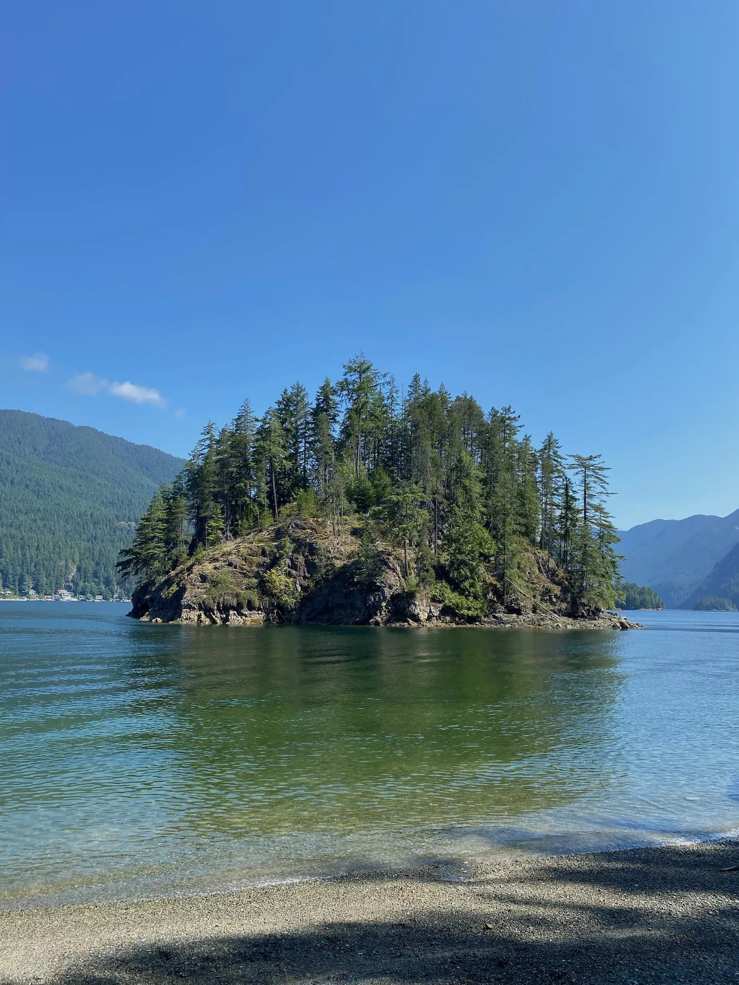
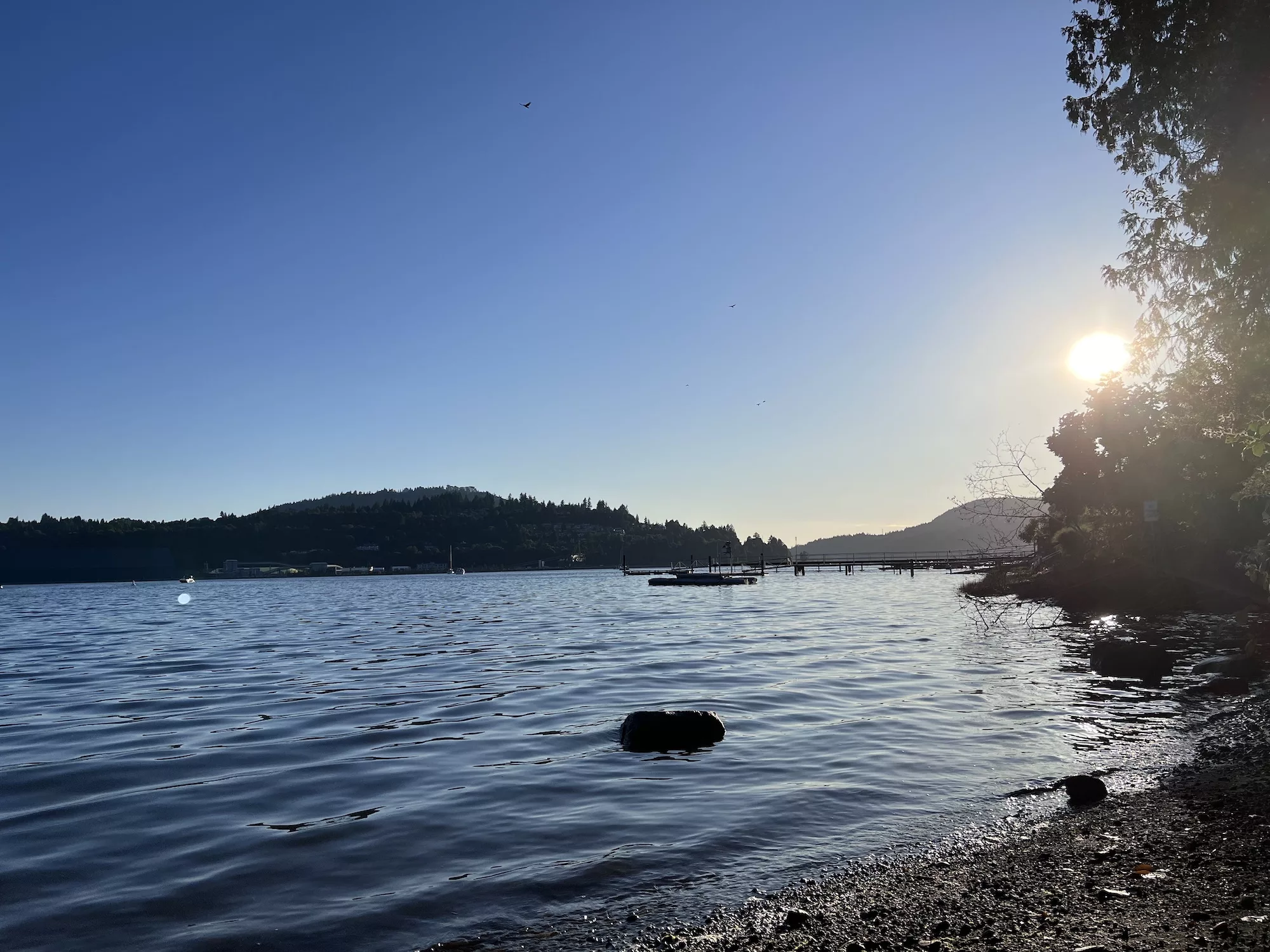
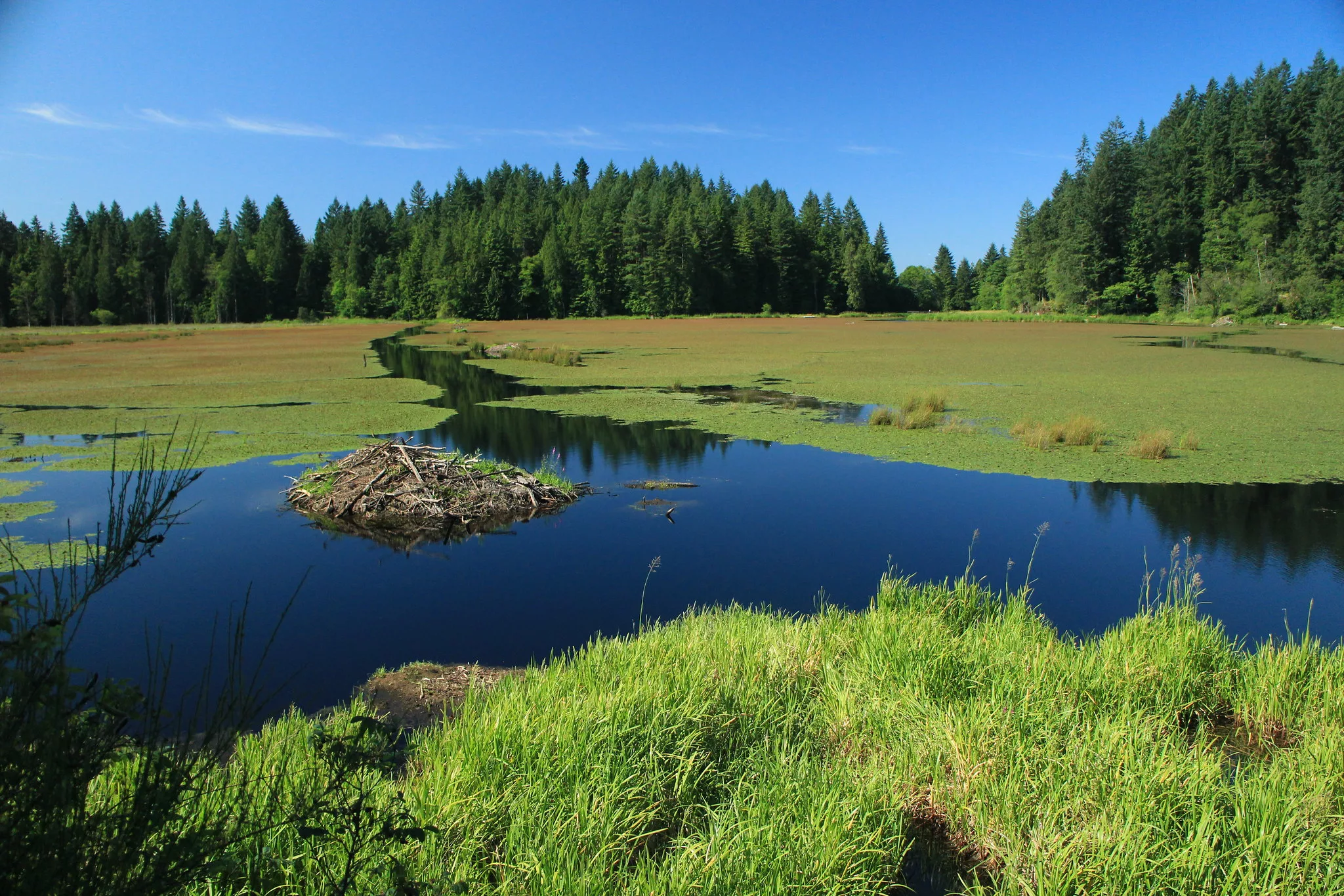
Jug Island Beach Trail
 Elaine Cheung
Length: 5.1 km roundtrip
Elevation gain: 220 metres
Time: 1.5 hours
Difficulty: Moderate
Jug Island Trail is home to more than just a scenic hike. This 5.1-kilometre out-and-back trail is located in Belcarra Regional Park. The hike to Jug Island Beach is a bit inclined, but it’s a great place to relax once you’ve completed it. Once you get to the beach, you can swim, explore your surroundings or even spot some unique wildlife. Be sure to watch out for stones and crabs when heading towards the water. You can drive up and park (which you’ll have to pay for) or take the bus up from Coquitlam Central Station.
Distance from Port Moody: 17.4 km
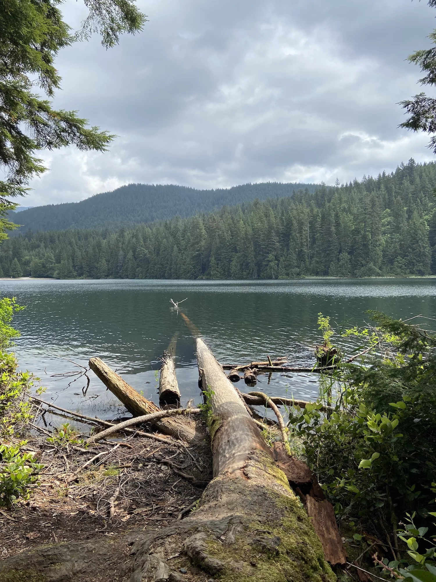
Sasamat Woodhaven Connector
 Izzy Cheung
Length: 8.4 km roundtrip
Elevation gain: 189 m
Time: 2 hours
Difficulty: Moderate
While Sasamat Lake is often known more for White Pine Beach, it also hosts a brief but enjoyable hike. A quick, 3.1-kilometre loop takes you around the lake, introducing you to calming views of the mountains, trees and water. If you’re feeling more adventurous and up for a challenge, you can add the Sasamat Woodhaven Connector to your route, turning the loop into an 8.4-kilometre trek. You’ll have to pay for parking if you drive, so carpool with friends or take the bus up from Coquitlam Central Station. Be sure to arrive early, as the beach gets busy during hot summer days.
Distance from Port Moody: 14.5 km
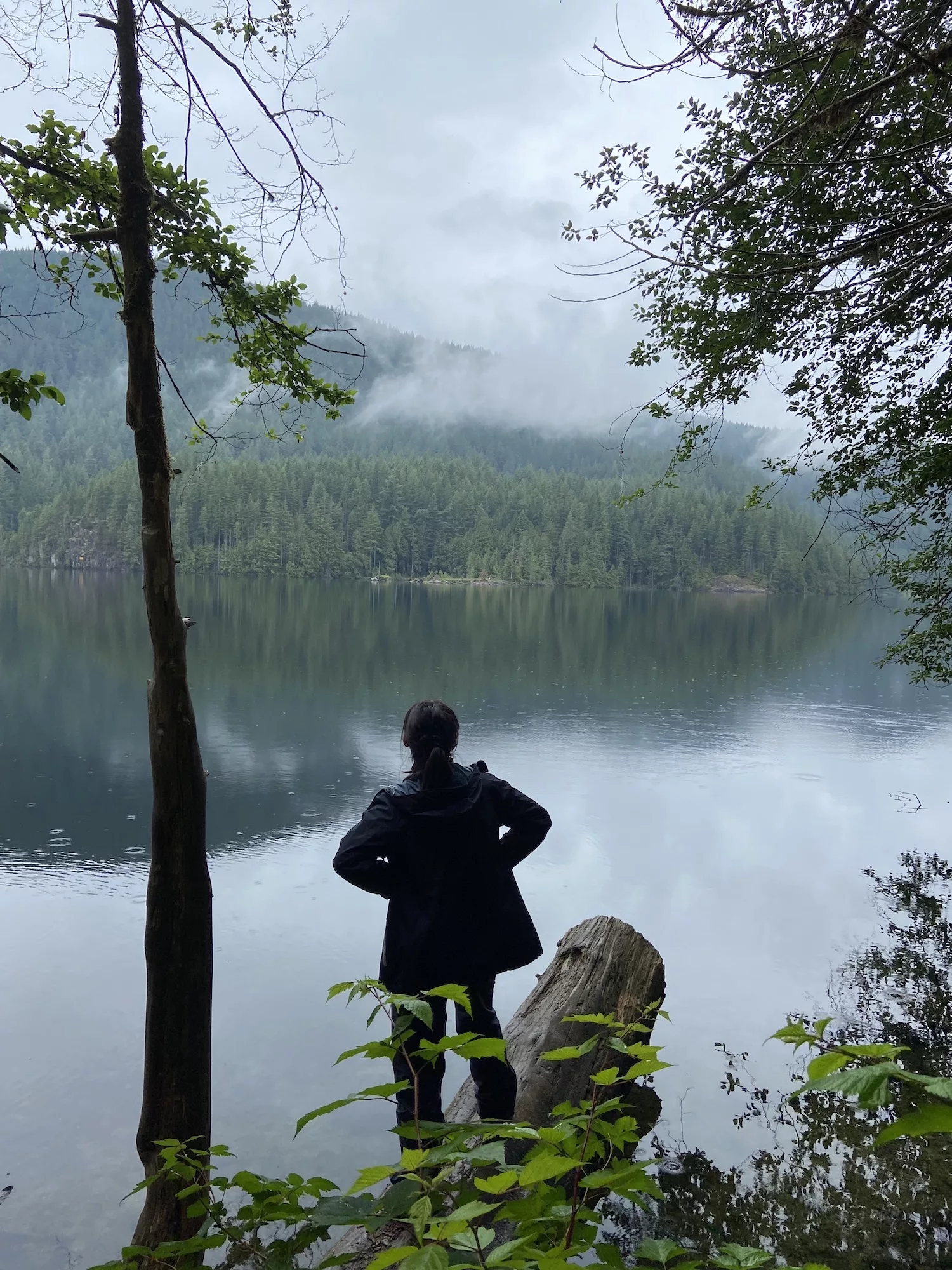
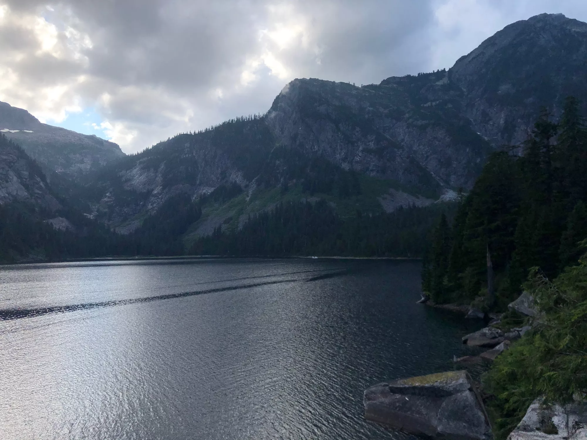
Buntzen Lake Trail
 Izzy Cheung
Length: 10.5 km roundtrip
Elevation gain: 301 m
Time: 3 hours
Difficulty: Moderate
Buntzen Lake Trail is perfect for all seasons, but is especially popular during the summers thanks to the beach and cove-like areas spread throughout the trail. The path is mainly forested, so you can enjoy the shade during the summer and be shielded from the rain during the fall. You can wear your bathing suit, pack a picnic, bring your SUP or simply hike the loop—either way, you’re certain to enjoy this excursion. Remember to book your free parking pass online before heading up, as there are workers stationed at the lake’s entrance who will check for your pass.
Distance from Port Moody: 17.8 km
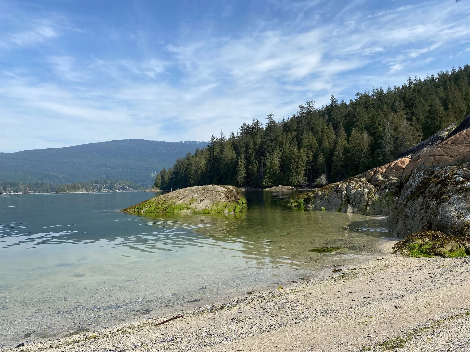
Admiralty Point
 Elaine Cheung
Length: 5.3 km roundtrip
Elevation gain: 83 m
Time: 1 hour
Difficulty: Easy
If you’re looking for a less-intense hike, or if you’re not good with elevation (which is something I’ve recently learned about myself), then be sure to try Admiralty Point Trail. With a total elevation gain of 83 metres, this out-and-back trail can be accessed from Belcarra Regional Park’s lot. This hike will introduce you to scenic views of Deep Cove, Mount Seymour and Burnaby Mountain from the various waterfront spots. If you’re a big fan of mountain and water scenes, be sure to hike this path.
Distance from Port Moody: 14.8 km
Shoreline Trail
 Izzy Cheung
Length: 5.8 km roundtrip
Elevation gain: 24 m
Time: 1 hour
Difficulty: Easy
Rocky Point is not only home to crops of eclectic breweries, but also boasts its Shoreline Trail. This out-and-back trail has a total elevation gain of 24 metres. You can start the trek from the scenic boardwalk and head into the trail from there. Currently, the trail is undergoing some adjustments—follow the signs on the path for detours. This trail will take you to Old Orchard Park, where you can lay a blanket down and enjoy a calm beach day. Start or finish this trail with a scoop of your favourite flavour from Rocky Point Ice Cream—my personal favourite is cookie dough.
Distance from Port Moody: 3 km
Widgeon Lake Trail
 Izzy Cheung
Length: 28 km roundtrip
Elevation gain: 925 m
Time: 8 hours
Difficulty: Challenging
If you’re up for a challenge (and a pretty paddle), be sure to try the Widgeon Lake Trail. The hike itself is relatively easy, but this trail gets its rank of ‘challenging’ from the beginning steps of the journey. You’ll start with a paddle through Pitt Lake in order to arrive at the trailhead. Rent from Pitt Lake Canoe Rentals or bring your own, but be sure to set aside at least eight to ten hours (or more) for this trip.
Distance from Port Moody: 30.5 km
Eagle Mountain Powerline
 Ruth Hartnup, Flickr, CC BY-2.0
Length: 8.2 km roundtrip
Elevation gain: 280 m
Time: 2.5 hours
Difficulty: Moderate
Hiking isn’t the only way to travel along Eagle Mountain Powerline Road. While on this trail, expect to see mountain bikers or equestrians as well as fellow hikers. Spanning 8.2 kilometres with an elevation gain of 280 metres, this out-and-back trail will provide you with views of the mountains, water and greenery. Feel free to bring your furry friends along for the adventure.
Distance from Port Moody: 14.7 km
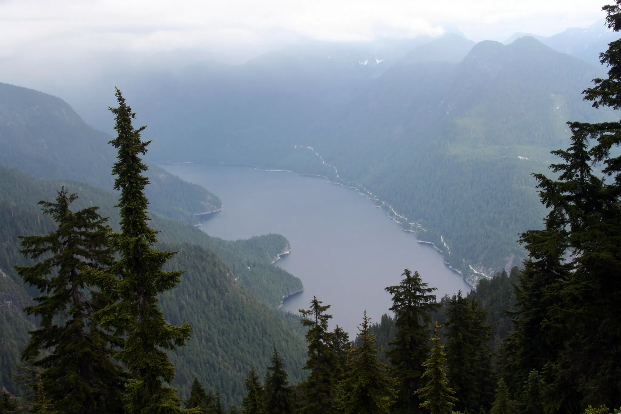
Coquitlam Lake View Trail and Woodland Walk
 David J Laporte, Flickr, CC BY-2.0
Length: 11.1 km roundtrip
Elevation gain: 639 m
Time: 4 hours
Difficulty: Moderate
Spanning from the southwest corner of Garibaldi Provincial Park to include Burke Mountain, Pinecone Burke Provincial Park is home to many scenic, Instagram-worthy spots. The Coquitlam Lake View, Sawblade and Woodland Walk will guide you to more than just one scenic wonder. This 11.1-kilometre loop takes you to Sawblade Falls, Coquitlam Lake viewpoint and Woodland Falls. With a total elevation gain of 296 metres, this trail is great for getting lost—but not actually lost—in nature’s beauty. Make sure you’re properly equipped for hiking and be sure to brush up on your bear safety tactics, as bear sightings are quite normal in this park.
Distance from Port Moody: 14 km
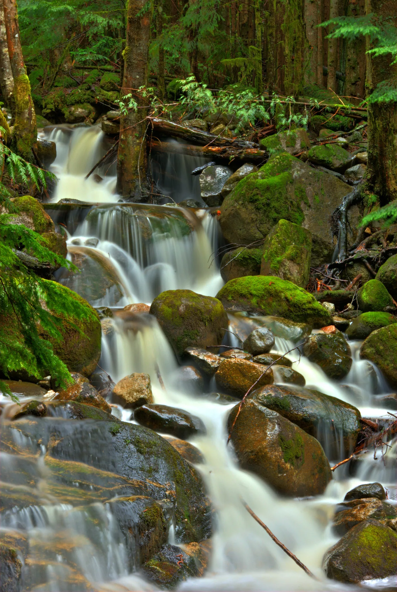
Addington Lookout and High Knoll via Lodge, Fern and Quarry Trail
 Jamie Von Sacken, Flickr, CC BY-2.0
Length: 6.8 km roundtrip
Elevation gain: 253 m
Time: 2 hours
Difficulty: Moderate
Located around 13.5 kilometres away from Rocky Point is Minnekhada Regional Park, which boasts ample trails and treks. The Lodge, Fern and Quarry Trail to Addington Lookout is a 6.8-kilometre loop with a total elevation gain of 253 metres. Using this trail will bring you to viewpoints from both the high and low knolls. From the high knoll, you’ll be able to see both Pitt River and the sky-scraping buildings in downtown Vancouver.
Distance from Port Moody: 13.5 km
Mundy Park Perimeter Trail
 Elisa Codazzi, Flickr, CC BY-2.0
Length: 4.3 km roundtrip
Elevation gain: 51 m
Time: 1 hour
Difficulty: Easy
Mundy Park is the place to go if you’re looking for low-intensity hikes while feeling like you’ve gotten lost in the forest. The Perimeter Trail is a 4.3-kilometre loop with a total elevation gain of 51 metres—and is also a frequent trek made by students of the nearby high school, Dr. Charles Best Secondary (from which I am an alumna—the amount of times I had to run this trail for gym made me memorize the route like the back of my hand). The conditions of the trail are great, and the path is perfect for those who may not have the physical capabilities to complete a tougher hike. Bonus: dog sightings at this park are quite possibly the highest of all treks on this list.
Distance from Port Moody: 7 km
More on British Columbia:
A Week’s Adventures in British Columbia’s Interior
Experience Golden, BC’s New Railrider Mountain Coaster
Year-Round Adventure Activities in Penticton, BC


