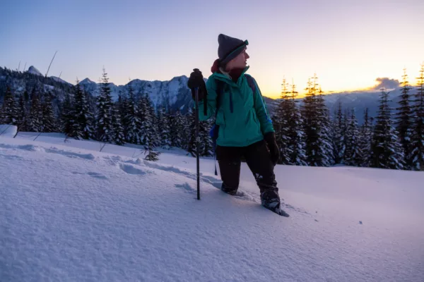
10 of the Best Hikes near Toronto

Let’s all hike Toronto!
Little known fact: when it comes to wooded trails and beautiful views, Toronto has a lot to offer. Don’t get lost in the concrete jungle on your next trip to the Six—instead, bring your hiking boots and use them!
Here are 10 hiking trails that prove that Toronto is a city for nature lovers, too.
Nassagaweya Canyon Trail
Rattlesnake Point Conservation Area 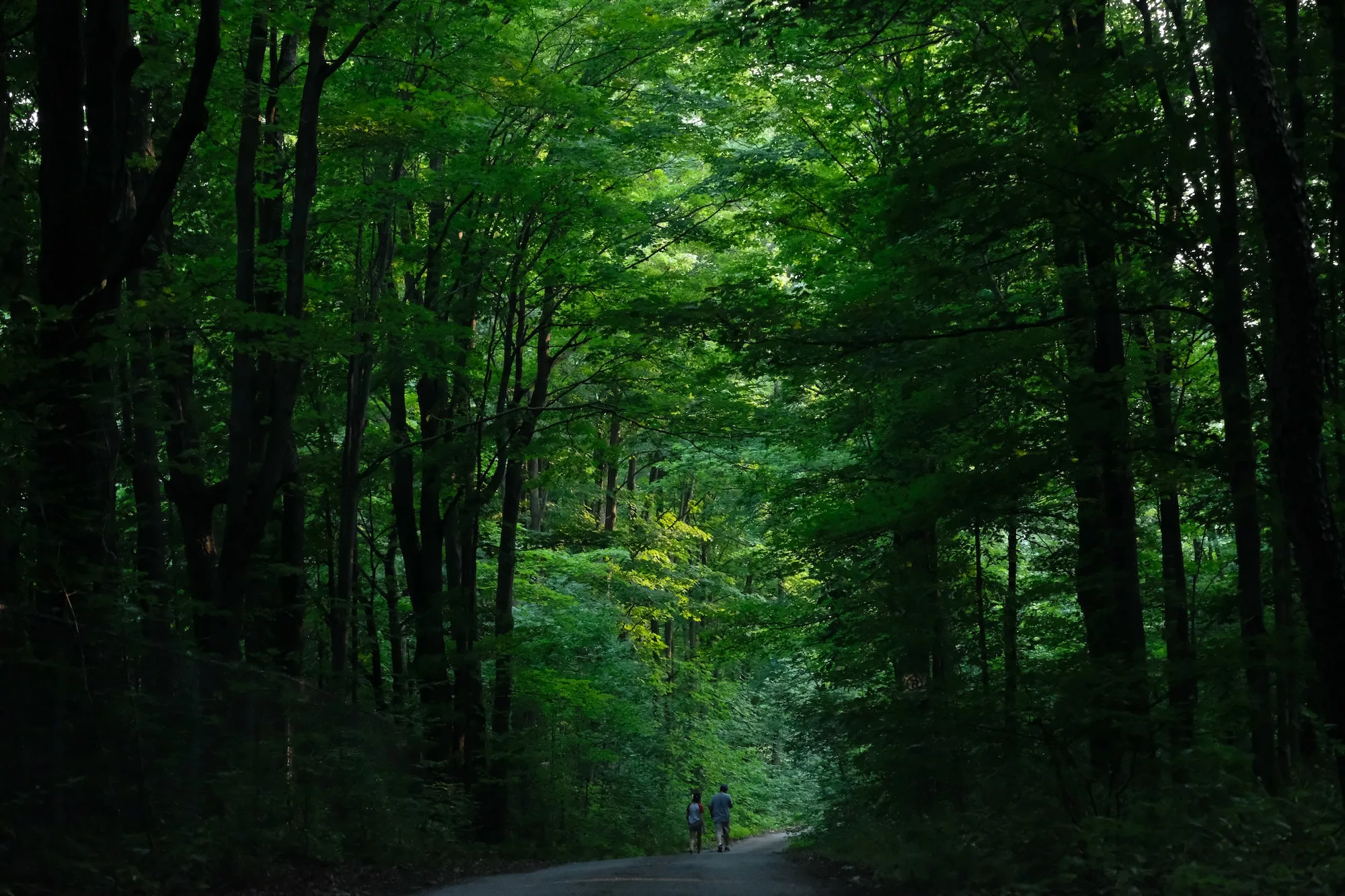
Distance: 8.5 km roundtrip
Time: 2 hours
Elevation gain: 165 m
Why it’s awesome: Cliff-faces dotted with climbers add to the wildlife viewing on this hike.
Tranquil forest, soaring turkey vultures and the towering cliffs of the Niagara Escarpment make for an exhilarating escape from the bustle of the city. Take in the view from several different viewpoints around Rattlesnake Point before venturing forth to the peaceful waters of Crawford Lake. Shorter trails that stick closer to Rattlesnake Point offer quicker adventures for the time-conscious. Reservations are now required for your visit, so be sure to book one before you arrive.
How do I get to the trailhead? The trailhead is well-marked at the lower parking lot in the Rattlesnake Point conservation area.
Read more: conservationhalton.ca
Distance from Toronto: 65 km
Bruce Trail
Niagara Escarpment
 Enoch Leung, Flickr, CC BY-SA 2.0
Distance: 890 km one-way
Time: Varies
Elevation gain: 1,136 m total
Why it’s awesome: This UNESCO World Biosphere Reserve offers endless options for day hikes and more.
With 890 kilometres of main trail and even more side trail options, the Bruce Trail is Canada’s oldest and longest marked footpath. Running the length of the Niagara Escarpment, from Niagara to Tobermory on the tip of the Bruce peninsula, the trail is a choose-your-own-adventure for day hikers and multi-day hikers alike. The Toronto section of the trail is about 50 kilometres long, and the Toronto Bruce Trail club offers group hikes for all ability levels along various sections of the trail.
How do I get to the trailhead? Trailheads are plentiful.
Read more: brucetrail.org
Dundas Peak Trail
Spencer Gorge Conservation Area

Distance: 2.9 km out-and-back
Time: 1 hour
Elevation gain: 62 m
Why it’s awesome: Two waterfalls make for double the rush.
Located in the Spencer Gorge Conservation Area, the Dundas Peak Trail passes by the roaring Tew Falls before opening up into a spectacular view of Dundas and Hamilton, and of course, the gorge below. You’ll also find beautiful Webster Falls in this area. If you plan on visiting during any of the listed holidays, you will need to book a reservation.
How do I get to the trailhead? Trailhead is located at the Tew Falls parking lot, off Harvest Road. There is a $5 per person entrance fee and a $10 per car parking fee.
Read more: alltrails.com
Distance from Toronto: 72 km
Bloggers who have lived the adventure: ivebeenbit.ca
Scarborough Bluffs Trail
Bluffer’s Park
Distance: 6.8 km
Time: 1 – 2 hours
Elevation gain: 20 m
Why it’s awesome: A haven of serenity right next to the city.
The stunning Scarborough Bluffs trace the banks of lake Ontario for 14 kilometres, rising over 60 metres above the water. This 6.8-kilometre trail meanders along Lake Ontario’s waterfront. It’s accessible year-round to calm your urban-dwelling soul.
How do I get to the trailhead? Bluffer’s Park
Read more: ontariotrails.on.ca
Distance from Toronto: 17 km
Vista Trail
Rouge Valley
 Can Pac Swire, Flickr, CC BY-SA 2.0
Distance: 1.5 km loop
Time: 1 hour
Why it’s awesome: Quick and easy, with a serious payoff.
This little loop of a trail offers a quick escape for the time-strapped and a visual feast, with a view overlooking Little Rouge Creek and Rouge River Valley. Meadow, forest, bluffs and wildlife are all part and parcel of this small but mighty hike.
How do I get to the trailhead? Park at Rouge Valley Conservation Centre
Read more: rvcc.ca
Distance from Toronto: 35 km
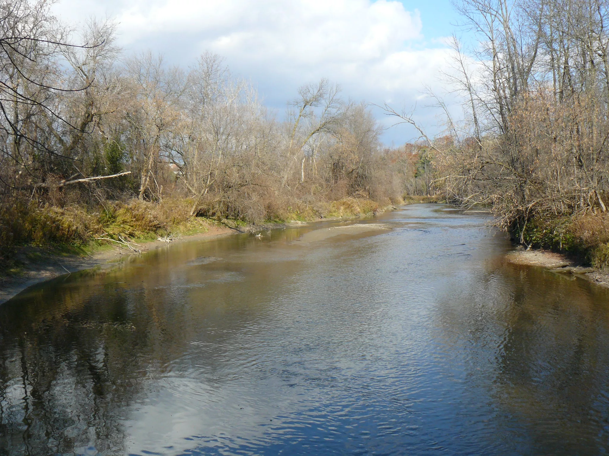
East Don Parkland
East Don River
 Timothy Neesam, Flickr, CC BY-SA 2.0
Distance: 11.1 km
Time: 2 – 3 hours
Elevation gain: 86 m
Why it’s awesome: “Walk the Don” with a self-guided interpretive map.
Hiking near Toronto isn’t all bluffs and escarpments. The Don River valley offers wetlands, wildlife and wildflowers. As you wander amid willows and cedars, look out for waterfowl, beavers and rabbits. Breathe in the fresh air as the creek murmurs gently nearby.
How do I get to the trailhead? Leslie St. & Steeles Ave.
Read more: discoverthedon.ca
Distance from Toronto: 20 km
Beamer Memorial Conservation Area Trail
Beamer Memorial Conservation Area

Distance: 4.2 km loop
Time: 2 hours
Elevation gain: 108 m
Why it’s awesome: Something for everyone, and birds of prey for all.
With multiple lookouts showcasing an expansive view that reaches to Lake Ontario, you might expect the Beamer Memorial Conservation Area Trail to be steep and difficult. However, it’s remarkably user-friendly and even features a wheelchair-accessible section so that everyone can enjoy the scenic trails and swooping hawks that migrate here.
How do I get to the trailhead? Parking lot near Quarry Road
Read more: ontarioconservationareas.ca
Distance from Toronto: 86 km
Elora Gorge Trail
Grand River 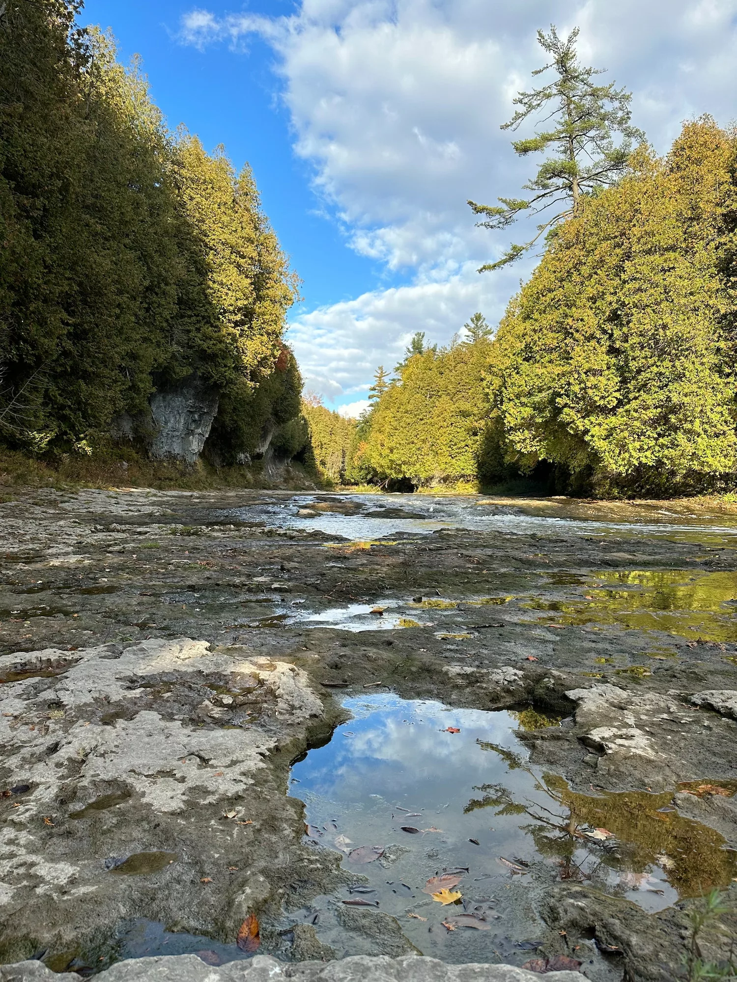
Distance: 5.5 km
Time: 1 – 2 hours
Elevation gain: 195 m
Why it’s awesome: Bring an inner tube and break up the hike with a refreshing river float.
Towering 22-metre cliffs guard the Grand River in the Elora Gorge. The trail loops through the Elora Gorge Conservation Area, passing by a small waterfall and getting up close and personal with the river. The trail itself is rather tame, so hop on an inner tube if you’re looking for more action.
How do I get to the trailhead? The trailhead can be found at Wellington Street in the town of Elora, near the bridge.
Read more: grandriver.ca
Distance from Toronto: 115 km
Mast Trail
Rouge Valley
 John Vetterli, Flickr, CC BY-SA 2.0
Distance: 5.3 km roundtrip
Time: 1 – 2 hours
Elevation gain: 86 m
Why it’s awesome: Feel extremely Canadian as the log driver’s waltz echoes faintly in the trees.
Follow a 200-year-old logging road through tall trees and verdant undergrowth. This hilly trail will get your heart pumping, especially if you decide to run it. For a more informative experience, join a Parks Canada representative on a guided walk.
How do I get to the trailhead? Glen Rouge Campground
Read more: pc.gc.ca
Distance from Toronto: 35 km
Headwaters Trail
Dundas Valley
 RichardBH, Flickr, CC BY 2.0
Distance: 7.5 km loop
Time: 2 – 3 hours
Elevation gain: 176 m
Why it’s awesome: Multiple side trails and entry points make this hike as unique as you are.
Nestled in the Dundas Valley Conservation Area, the Headwaters Trail is part of a trail network that covers 40 kilometres of forest, meadows, creeks and rolling hills. Mountain bikers and horseback riders also frequent this area.
How do I get to the trailhead? Hermitage Gatehouse Museum
Read more: conservationhamilton.ca
Distance from Toronto: 80 km
Related content on explore-mag.com:
25 of Ontario’s Best Spring and Summer Outdoor Adventures